Twin Cities residents woke up to a light dusting of snow Monday morning, while much of Western Washington was snowed in.
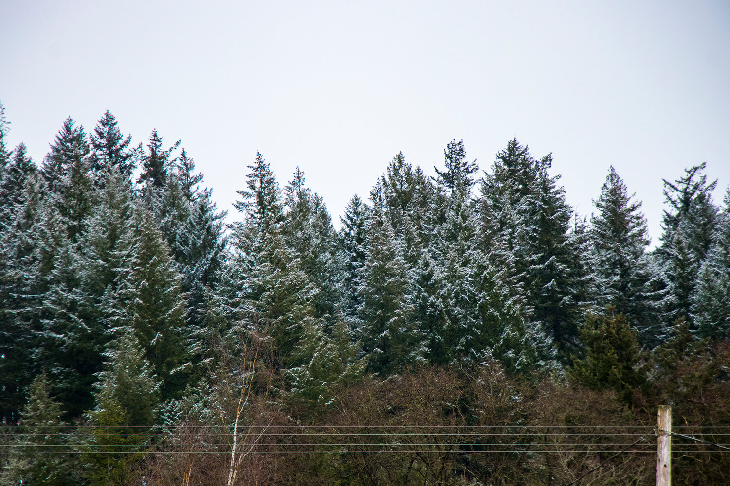
Snow arrived in Lewis County Friday, with the storm over Western Washington expected to bring 4 to 6 inches to the Twin Cities by Saturday afternoon.
A possibly heavier snowstorm will be arriving right behind it early next week.
“The bottom line is to be prepared for winter conditions this weekend,” said Jeff Michalski, a meteorologist with the National Weather Service in Seattle.
According to most recent updates from NWS, Lewis County is expected to get 4 to 6 inches of initial snowfall, as flurries arrive Friday afternoon and persist through Saturday afternoon. Higher amounts are possible. That’s less than areas north of Lewis County along the Puget Sound, such as Olympia, which could see 6 to 8 inches of snow.
A cold system moving down from British Columbia will mix with moist air from the Pacific Ocean, combining “all the key ingredients” for snow, according to the National Weather Service. The snow could linger in Lewis County until 4 p.m. Saturday, Michalski said.
“The snow showers will be tapering from the north to the south,” he said. “That area will kind of be the last to clear out.”
Meanwhile, the weekend snow will be followed in short order by another storm, arriving Sunday evening.
“Temperatures won't have time to moderate,” Michalski said. “We'll probably just pile on more snow. This one looks like it could potentially be heavier.”
Cliff Mass, the well-known professor of atmospheric sciences at the University of Washington, is predicting that second storm could be a “snow apocalypse.” One of the biggest events in 20 years, it could bring more than a foot of snow to central Puget Sound and two feet to some foothills locations.
Admittedly, Mass wrote that there’s still much uncertainty about next week’s event, and NWS is still working on its projections for that event.
The city of Centralia, according to public works director Kim Ashmore, has five snowplows, a converted road grader and sanding trucks ready to deploy.
“Someone is on call 24/7, and everyone is ready to respond as hills, viaducts and streets need to be plowed and sanded,” he said. “We’ll be working hard to make sure it has a limited effect on business.”
In a tweet Friday afternoon, the Washington State Department of Transportation noted long travel times in many locations as snowfall began to snarl the roads.
“Please be patient,” the agency wrote. “You're not likely to get anywhere quickly, so at least get there safely.”
Thurston County, which is projected to get more snow than Lewis, released a statement Friday morning announcing 24-hour schedules for county road crews.
“We are prepared to run snowplows both day and night throughout the weekend, and into next week if needed,” said Lucy Mills, Roads Operations Division Manager for Thurston County Public Works.
Thurston County’s road operations plans to use snow plows, anti-icing trucks and graders to clear roads.
“When we clear county roads, priority is given to major arterials and those connecting emergency services. We ask our residents to be patient this weekend and know that we are doing everything we can to clear roads as safe and efficiently as possible,” added Mills in the press release.
Thurston County Emergency Management has also released a list of warnings for citizens during cold weather. Residents should remember to never run a generator or burn charcoal indoors, should not walk across downed power lines, should clear flat roofs of snow and should check on elderly or vulnerable relatives or neighbors. Pets should be kept inside or sheltered from the weather.
Chronicle reporter Will Rubin contributed to this story.


