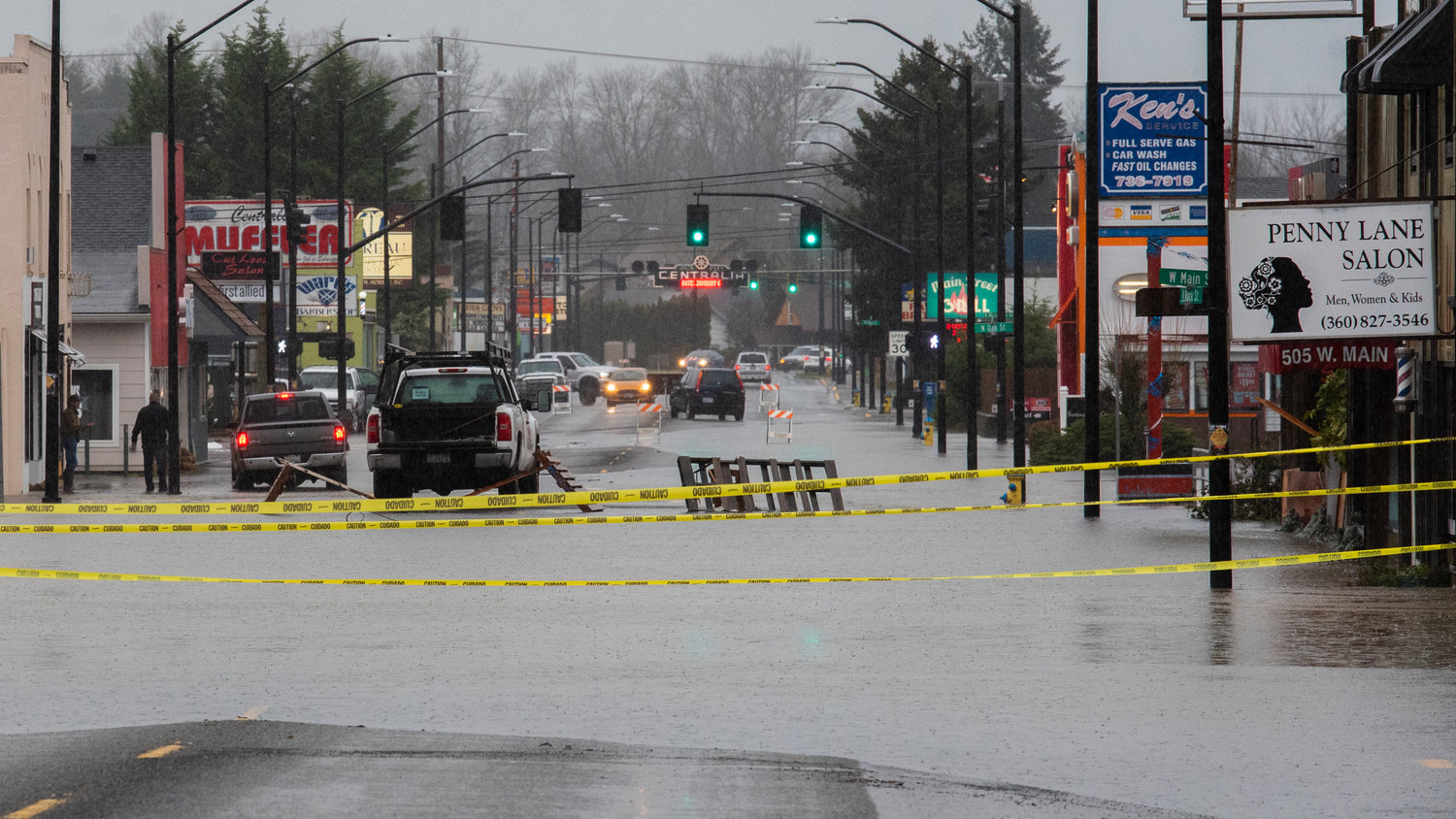
The Skookumchuck River at Centralia now is projected to surpass its peak flood level by 2 feet on Friday morning, topping the record set in 1996, according to the National Weather Service (NWS).
Flood warnings have been issued for many of the Lewis County communities touched by the Chehalis, Newaukum and Skookumchuck rivers at flood stages including Adna, Chehalis, Centralia, Doty and Dryad. Flood warnings for Thurston County communities on these rivers have also been issued including the Skookumchuck at Bucoda and the Chehalis at Grand Mound.
The Skookumchuck at Centralia, expected to reach 193.09 feet on Friday morning, will rise above the level of “Stage Four” flooding, which begins at 191.5 feet, meaning: “The Skookumchuck River will cause severe … record flooding in Centralia and the surrounding area. The river will flood most residential areas and roads and cover most of the farmland in the Skookumchuck River valley.”
For the Skookumchuck at Bucoda, it is predicted the river will also reach its 1996 record levels.
The Newaukum at Chehalis is the first river in the area expected to peak, and will likely do so sometime late on Thursday. It is currently forecast to reach 206.1 feet, over its record height which was also set in 1996. As of 3 p.m. Thursday, the river had reached 204.35 feet, which signifies moderate flooding is already underway.
At 206.1 feet, it would also reach a Stage Four flood, meaning: “flood waters will inundate most roads and a majority of residential and commercial areas within the region,” NWS stated.
According to Matthew Cullen, an NWS meteorologist, the Newaukum is predicted to hang around at that peak overnight before starting to recede late Friday morning.
Though weather changes quickly, Cullen said: “the river forecast that’s currently updated basically reflects the latest thinking.”
Those forecasts are based on rain that has already fallen, rain that will continue to fall and the water still coming down the streams into those areas after storms upstream and snow melt. Residents in each area with a flood warning should be prepared for record flooding and continue to heed city and county warnings for evacuation and road closures.
“Keep in touch with the local emergency management in the city and the county. … The forecast will change but (residents) should prepare for what they see,” Cullen said. “Have a plan to get in or out or have what you need. … Never drive in a flooded roadway. If there is a closure, it’s closed for a reason.”
NWS charts with river forecasts can be found at https://water.weather.gov/ahps/. Information on road closures in Lewis County is available at https://roads.lewiscountywa.gov/.
Follow all The Chronicle's flood updates here: https://www.chronline.com/stories/flood-central-newaukum-river-set-to-reach-all-time-high-major-flooding-predicted-on-chehalis,282075
— Isabel Vander Stoep, isabel@chronline.com


