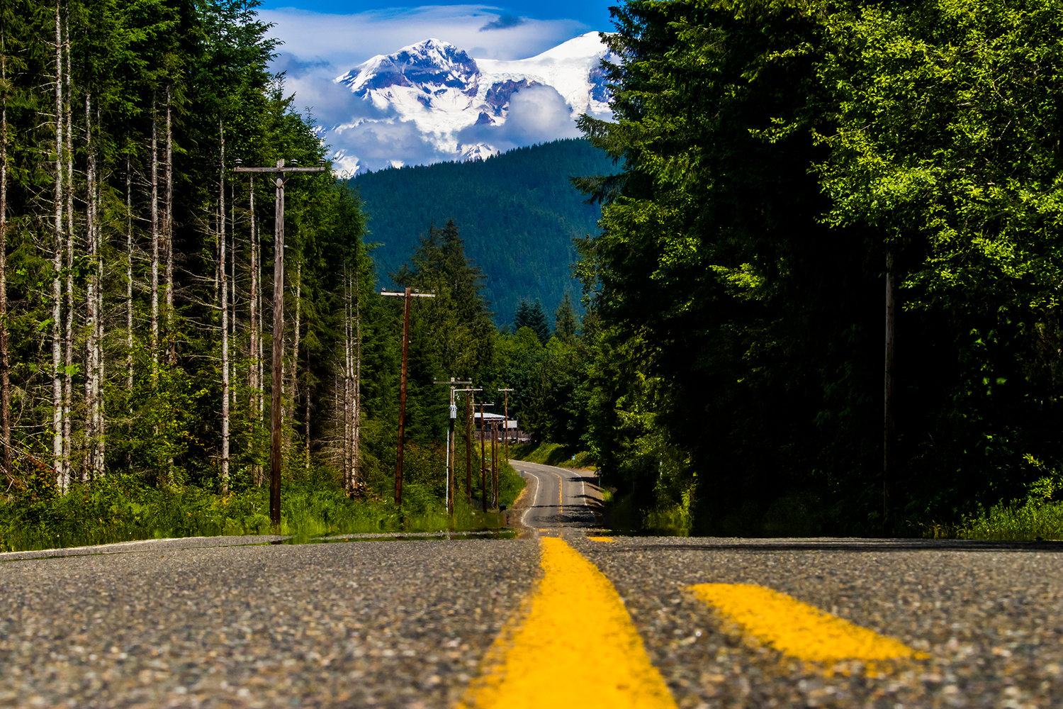
Mount Rainier sets the backdrop of Mineral Road South in June 2018 near Mineral.
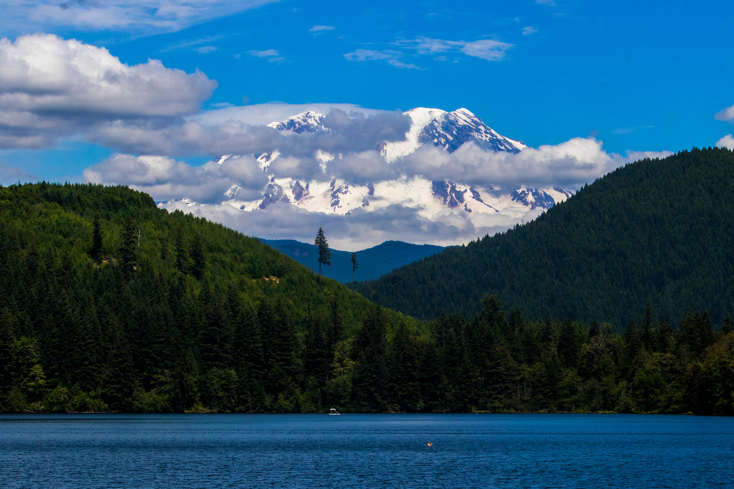
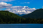
Mount Rainier is seen above Mineral Lake.
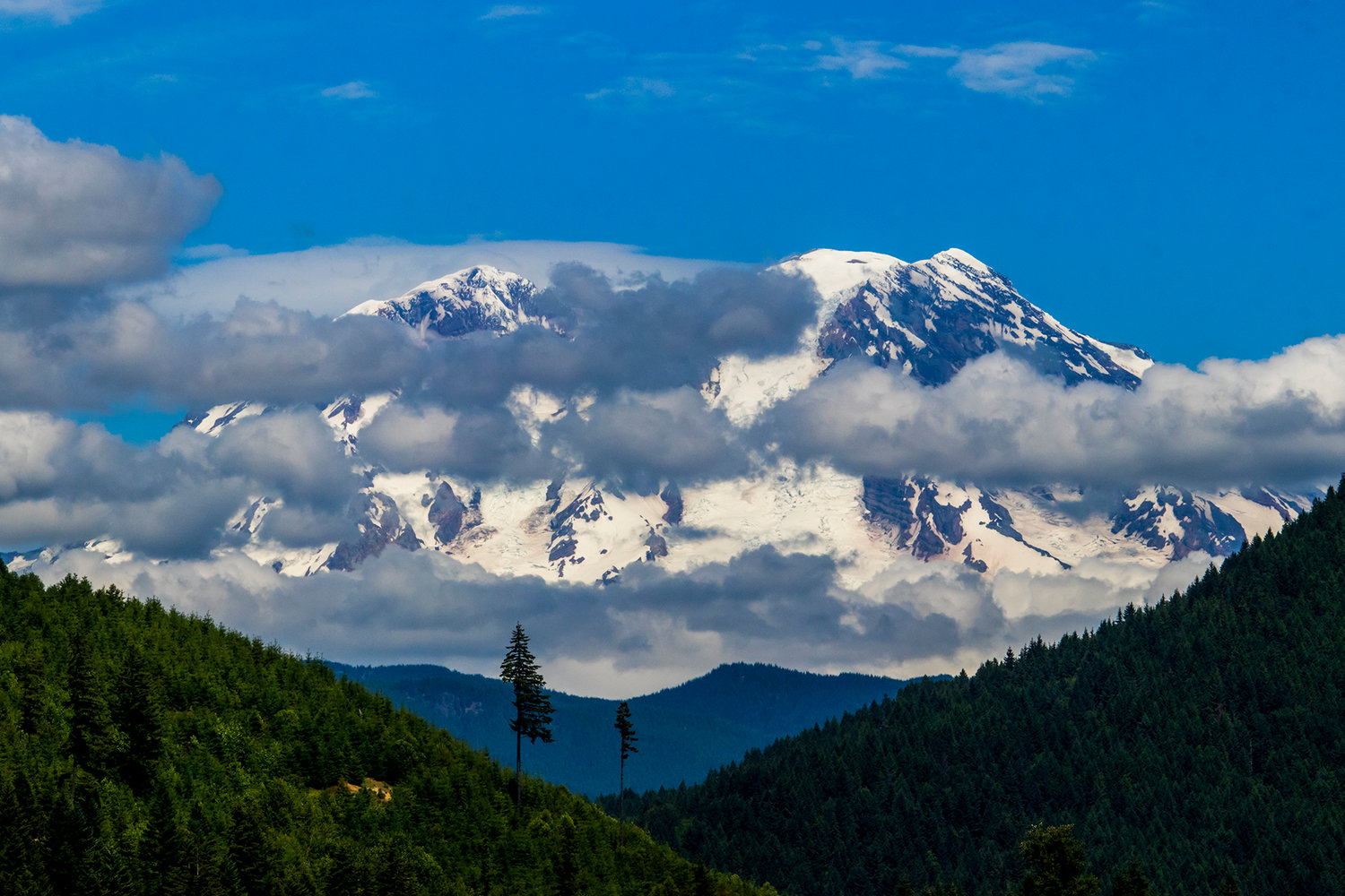
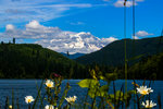
Mount Rainier is seen from the Mineral Lake Lodge waterfront Wednesday afternoon near Glenoma.

Wildflowers bloom on the bank of Mineral Lake in front of Mount Rainier Wednesday afternoon near Glenoma.


Visitors to Mount Rainier could one day drive to the mountain along a National Scenic Byway, a designation that the small communities west of the mountain believe will help them capitalize on their location along the most popular route into the national park.
“A lot of times, I think we're viewed by many of the travelers to Mount Rainier coming through as a bottleneck,” said Bob Walter, a member of the Eatonville town council who has been involved in the scenic byway efforts. “Either that or a speed trap. ... We're hoping that can change, that we can provide more historical and cultural options and events for them to enjoy.”
Eatonville is among four communities that sit along the proposed Road to Rainier Scenic Byway route, including Mineral in Lewis County. Elbe and Ashford round out the drive, which follows state Route 706 and 7 from their intersection with state Route 702. The 706 route runs to the park entrance, while 7 goes as far as Mineral, and includes a county road spur into the community.
“I found myself wondering time and again why wasn't this a scenic byway already,” said Sarah Scott, a longtime area resident who wrote the scenic byway proposal submitted to the Federal Highway Administration. “This is an extremely well attended national park. It draws people from all over the world. Too often they don't know what's around besides the park.”
Scott’s Corridor Management Plan was approved by the agency, but there’s still work to be done to get the Rainier route to official status.
“The plan is your design for the scenic byway. The next step is implementation of the scenic byway,” said Joe Kane, executive director of the Nisqually Land Trust, which helped spearhead the planning. “Funding to actually implement the plan would come through the Federal Highway Administration. That's the next stage. That requires another whole granting process.”
The plan itself was a huge undertaking, requiring two years of work from Scott. Applicants must address 14 different components, such as historic and recreational qualities, safety and traffic reviews, plans to publicize the byway and details on public participation and ongoing management.
Next up is finding the funding sources to put the plan into action, which has proven a challenge with federal transportation dollars harder to come by. While the Nisqually Land Trust took the lead role in the planning phase, Kane said a community organization or municipal group would be better suited to take on the task of working with state and federal sources to line up the necessary funding.
“We're not included yet [in official scenic byway designation] because we don't have the signage,” Scott said. “The signage is going to be a heavy financial undertaking, because of the design, fabrication, location and actually installing those.”
If that hurdle is cleared, locals believe the designation could be a boon for their economies. Jane Hodges, who founded an artist-in-residency program in the old Mineral School, noted that because Mineral is unincorporated, it has no dedicated spokesperson to promote it.
“There's no one responsible for this,” said Hodges, who was among the Scenic Byway Committee members involved in the planning. “Mineral is five miles from the Pierce County border, and I feel that a lot of times the attention as you go east in Lewis County stops at Morton.”
Unlike the other communities included in the byway, Mineral does not straddle state Route 706 or 7, sitting on a spur a few miles off of state Route 7. In other words, visitors to Rainier don’t travel through by default on their way to the park.
“Mineral is this dangling participle,” Hodges said. “Unless you're looking for a fishing spot, you don't have a lot of obvious reasons to turn into Mineral. … Having a scenic byway that has a map and a set of cities and signage that connects them could be really positive in terms of all these communities collaborating.”
Mineral Lake Lions Club President Dick Suter joked that the community might be best suited for anglers, then noted that extra signage and information might help fill up the local campground run by the Lions Club, especially when crowds overflow the sites at the national park.
“The only thing in Mineral is fishing,” he laughed. “It's out of the way. there's nothing to show you [it’s here]. You very seldom get anybody who's going up to Mount Rainier to come into Mineral.”
The Road to Rainier would be the second scenic byway with a footprint in Lewis County. The White Pass Scenic Byway traces U.S. Highway 12’s route east of I-5 across the county. Maps show the towns and parks along the way, with suggestions for side loops. A website informs would-be visitors of lodging, activities and events. That template — an all-inclusive spot for regional promotion — is why backers think the byway designation is important.
“People on the Road to Rainier will come up off the I-5 corridor,” Kane said. “There's really nothing out there to tell them what they're driving through and what sort of things are available to do. There’s no central organizing spot for that information. … A scenic byway puts it all in one place and then supports it with signage.”


