
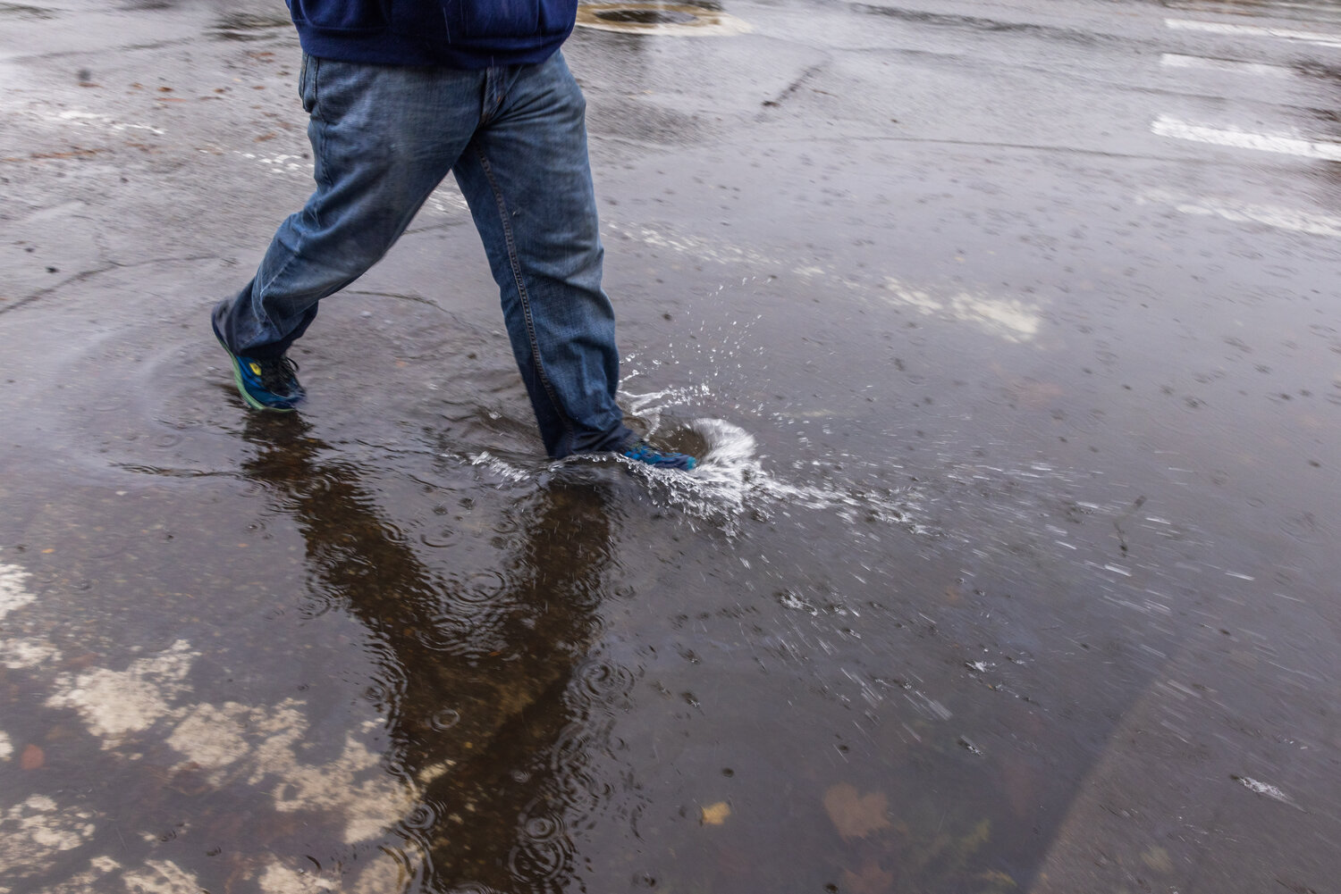


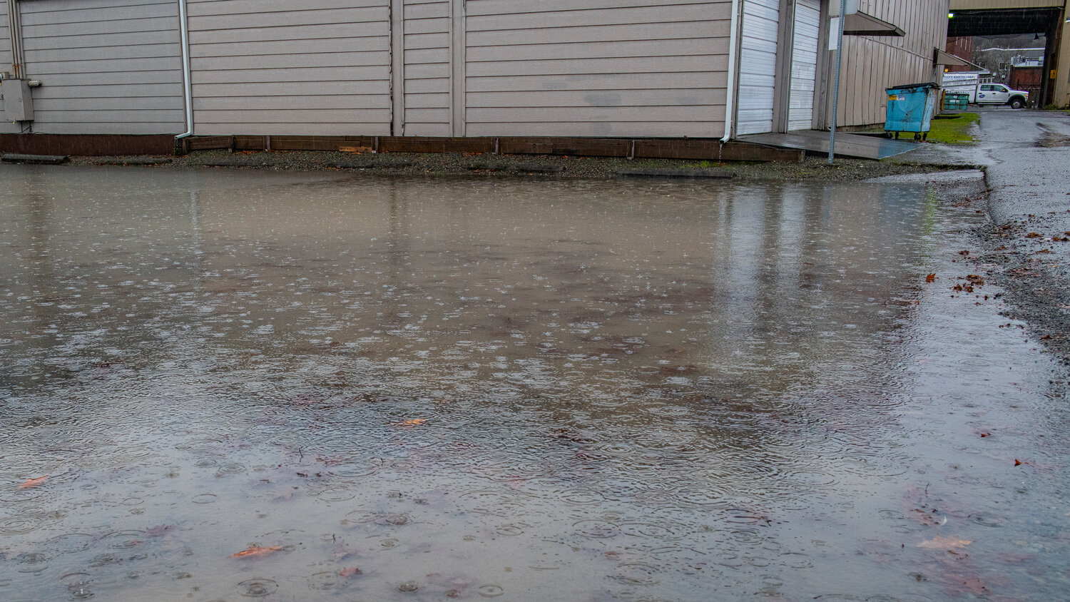


Western Washington is in the thick of an atmospheric river's deluge as a "pretty extraordinary" warm and wet air mass continues to soak the region Tuesday morning, according to the National Weather Service.
To gain a sense of how moisture-laden the atmosphere is, a weather balloon sent from Quillayute on Monday afternoon measured 1.41 inches of precipitable water (or the measure of water vapor in a vertical column of the atmosphere). A number that high has not been recorded in December in 75 years of record-keeping, the weather service said.
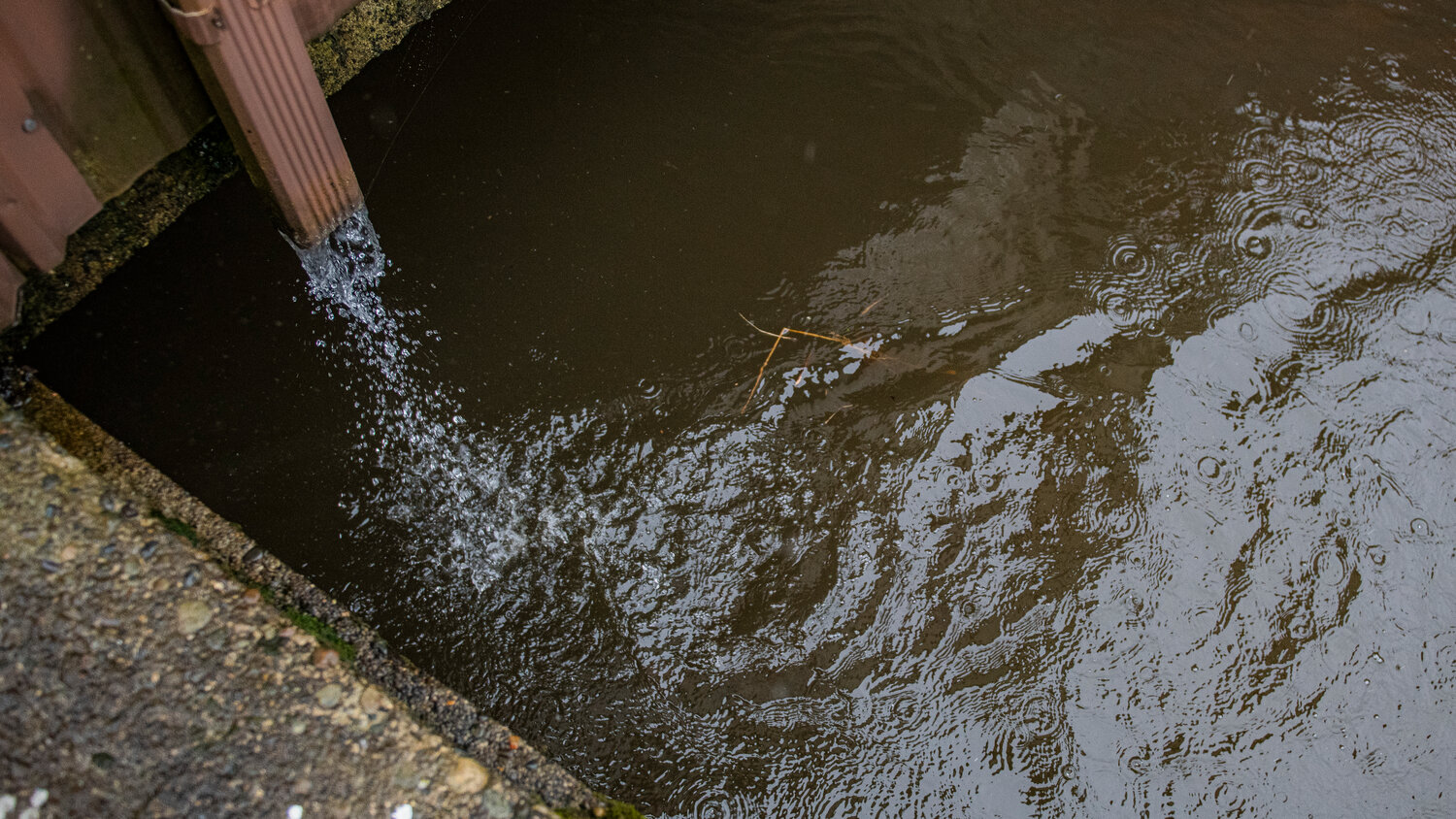
Rainfall at the weather service's office in Seattle set a record on Monday, with 1.51 inches of rain, "and we've had at least three-quarters of an inch of rain since midnight," Dana Felton, a meteorologist with the weather service in Seattle, said shortly before 7 a.m. Tuesday.
"Yesterday was the wettest day of the year here in Seattle," Felton added.
Also, at 1 a.m. Tuesday, Seattle had already broken its record high temperature for the date at 59 degrees.
"We've already hit the warmest part of the day," Felton said, "and we're actually going to cool off as the day goes on."
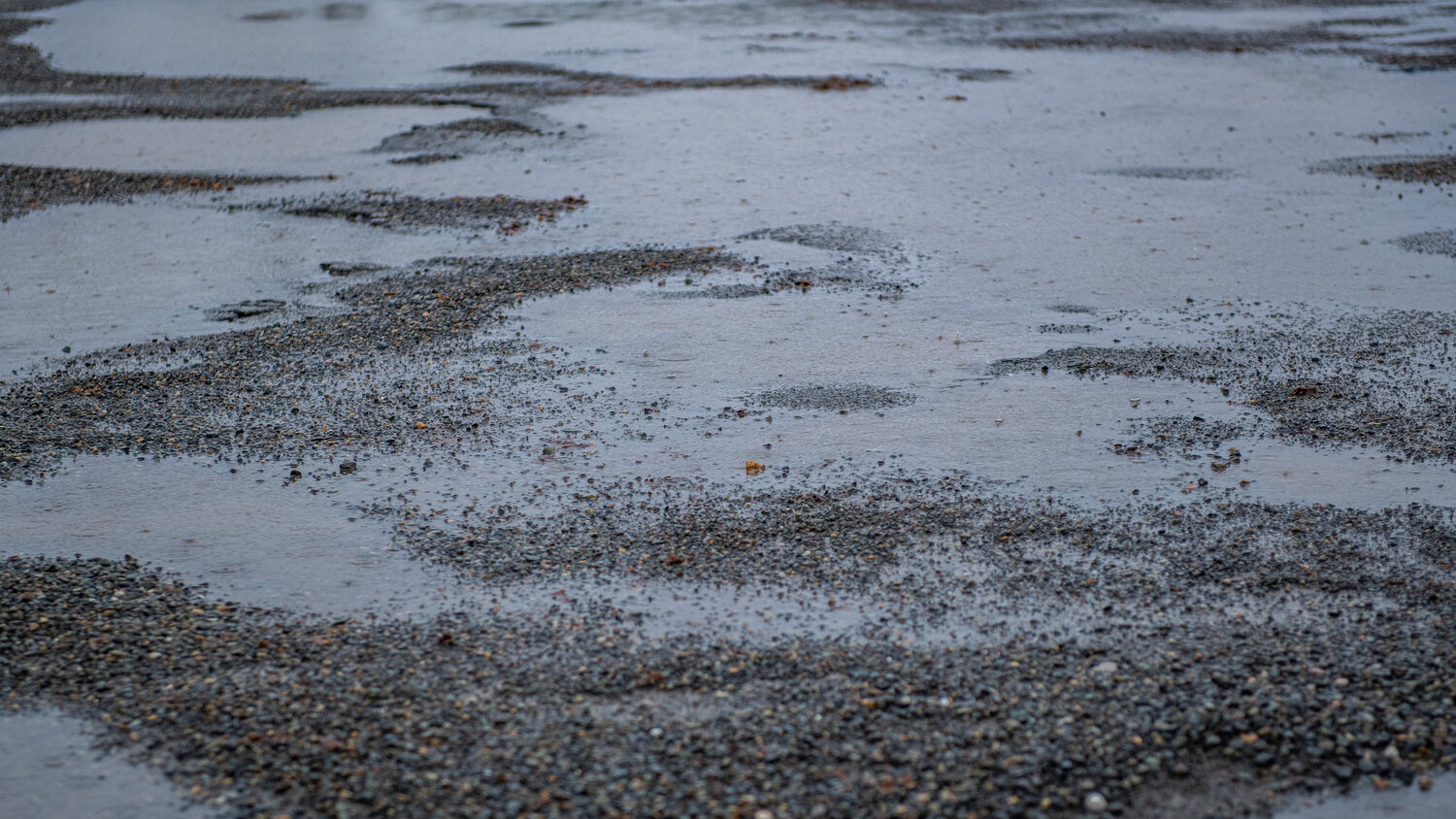
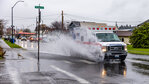
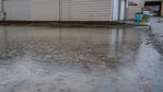
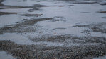
Shortly before daybreak Tuesday, rain was falling at a rate of up to a half an inch per hour across the lowlands and the mountains, where snow elevations remain as high as 10,000 feet.
Several inches of rain are expected to fall Tuesday in the lowlands — and up to 4 inches in the Cascades.
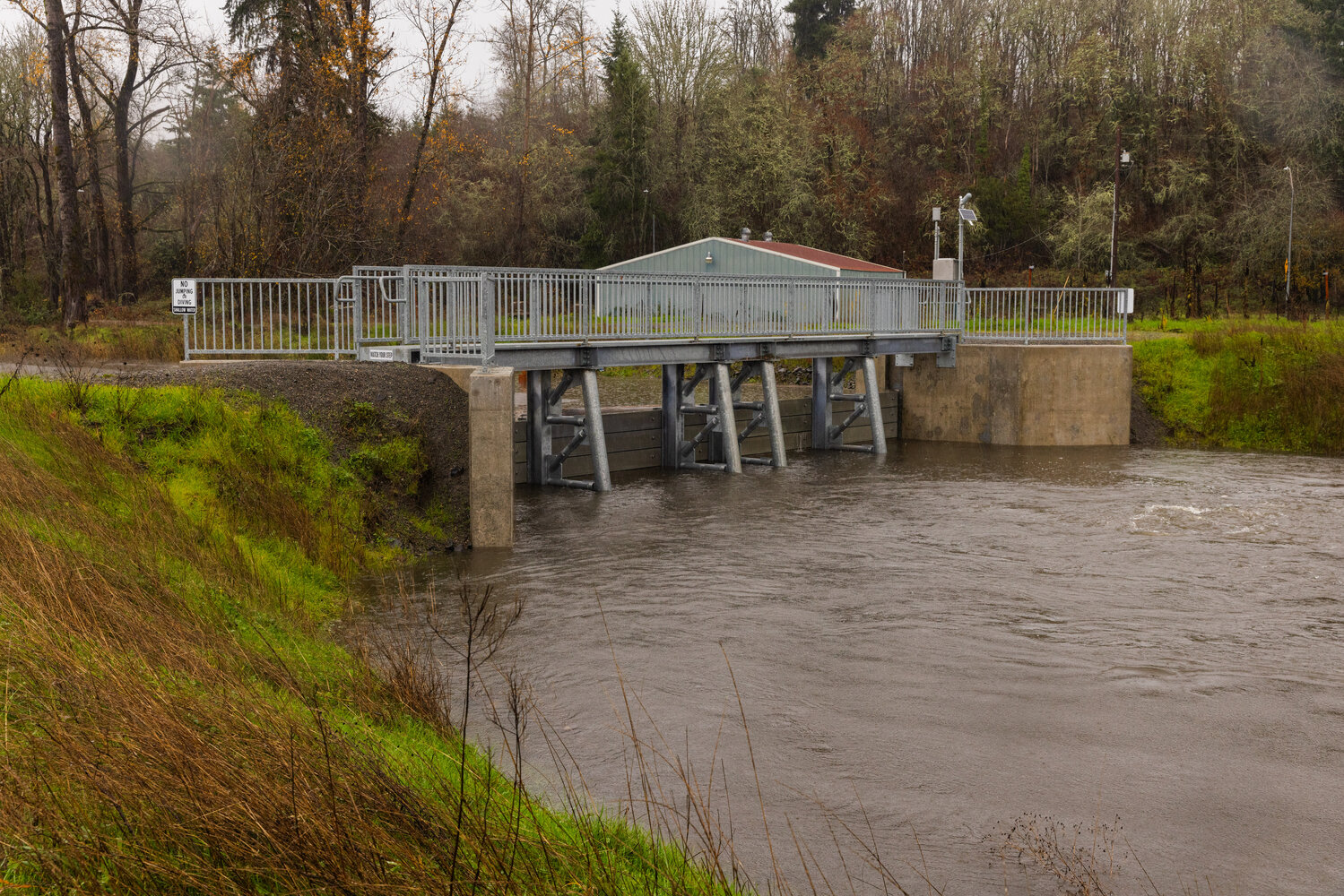
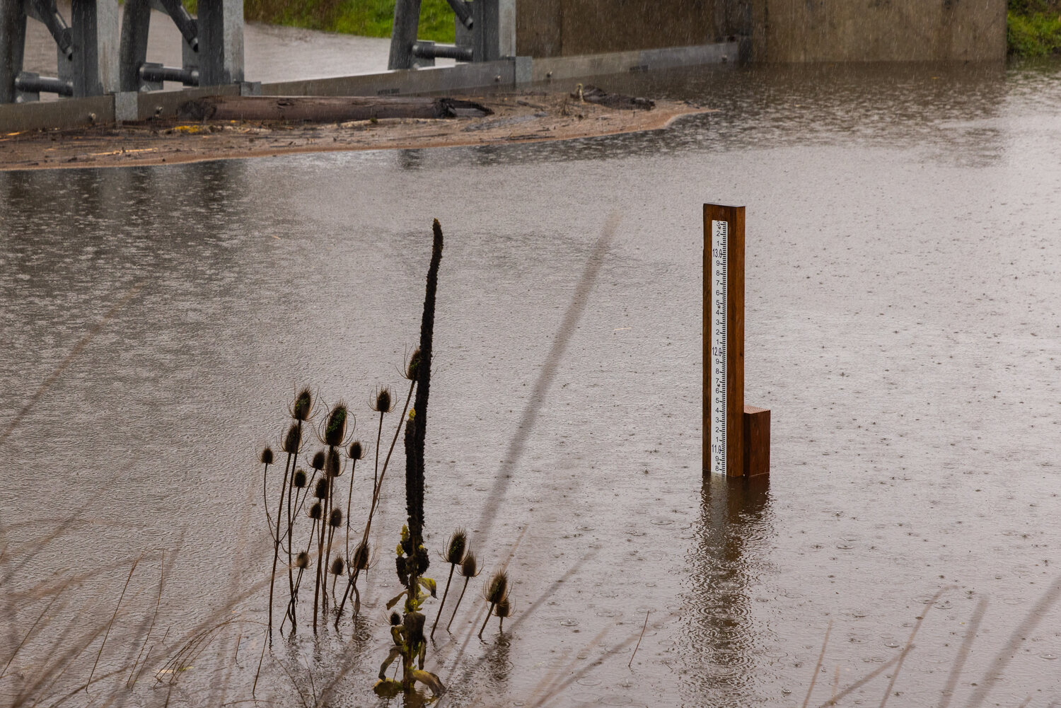
Numerous rivers are or are expected to soon reach moderate to major flood levels on Tuesday.
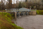
The weather service issued flood warnings for most of the rivers flowing off the Cascades, including the Skagit, Snoqualmie, Skykomish and Tolt rivers. The Skagit is expected to reach major flood stage Tuesday morning, while the Snoqualmie will reach major flood stage by nightfall.
King County's Flood Warning Center opened at 2 a.m. Tuesday to monitor minor flooding along the Snoqualmie and Tolt rivers.
As expected, continued heavy rainfall pushed the Snoqualmie River up to a Phase 3 flood alert threshold (20,000 cubic feet per second) as of 8 a.m. Only six hours earlier, the river passed the Phase 2 flood alert threshold, according to the county Department of Natural Resources and Parks.
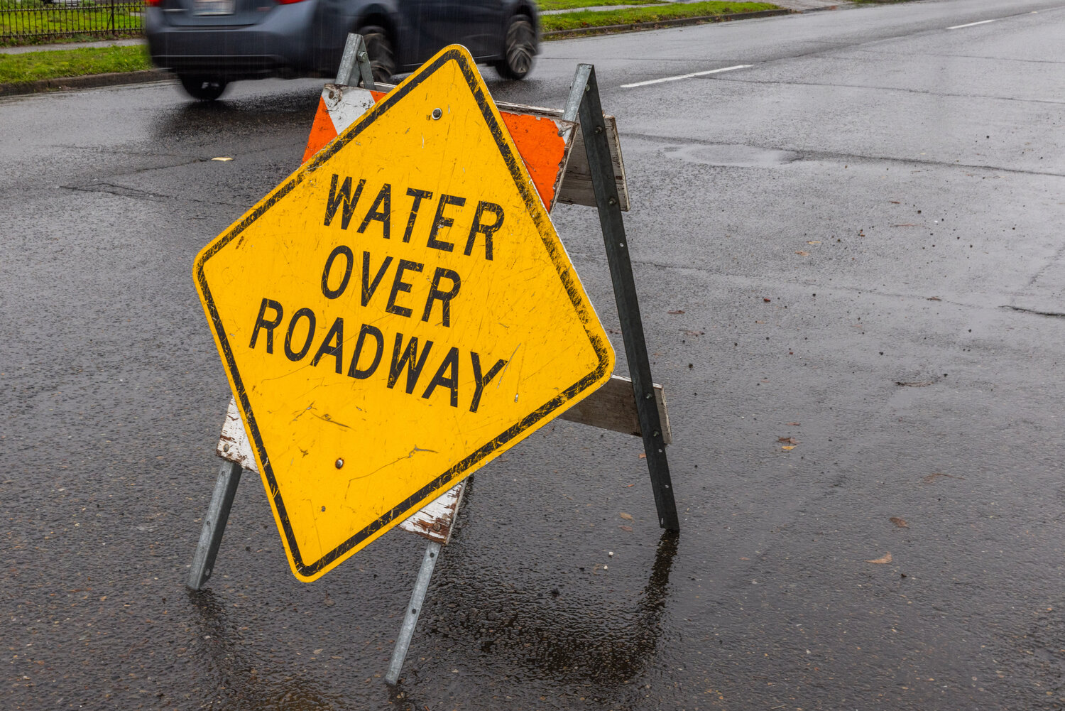
Within Phase 3, the department expects increased flood depths and an increased potential for water to cover roadways within the Snoqualmie Valley.
The rain-swollen Tolt River is close to reaching Phase 3, too, but flows have eased over the past few hours, the department said around 8 a.m. The Tolt is at the Phase 2 flood alert level, which means minor flooding could occur in low-lying areas along the river, the department said.
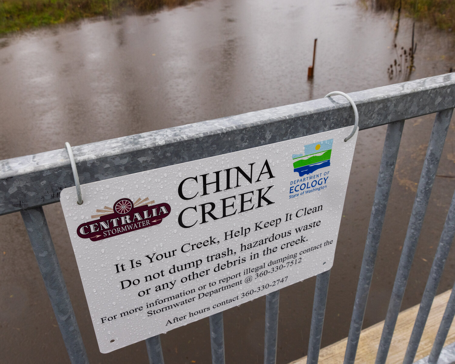
With rain continuing Tuesday, the weather service expects to issue flood warnings for rivers flowing off the South Central Cascades, including the Cowlitz, Nisqually, Newaukum and portions of the Chehalis.
The Skokomish River in the Olympics could reach major flood stage Tuesday morning. The river can't go more than a few inches above this stage before it starts filling the valley, the weather service said.
A cold front will gradually push onshore later Tuesday morning, stalling around Puget Sound for much of the day before shifting east of the Cascades on Tuesday night. This will allow rainfall and snow elevations to gradually decrease, the weather service said.
Heavier precipitation will shift over Oregon by Wednesday morning, and snow elevations will drop back down to pass levels by early Thursday.


