


As Lewis County’s Deputy Director of Emergency Management Ross McDowell phrased it on Sunday morning, wildfires are “popping up left and right,” across Lewis County.
As of noon Sunday, there were more than 30 wildfires from Pe Ell to Packwood, with the potential for more with windy, hot weather expected throughout the day.
North of Doty, the “Chandler Road Fire” is burning 35 acres of Washington Department of Natural Resources (DNR) land, McDowell reported.
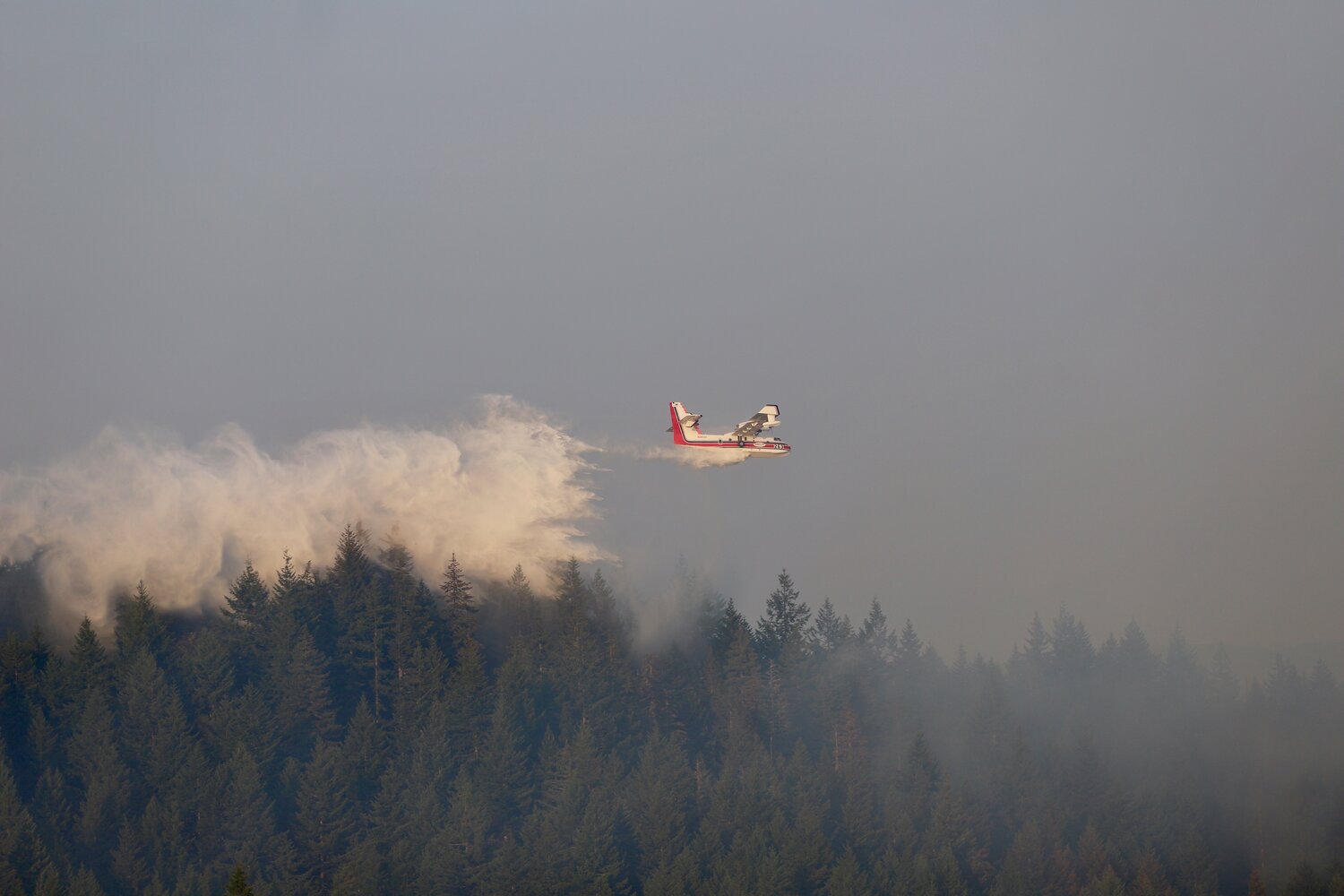
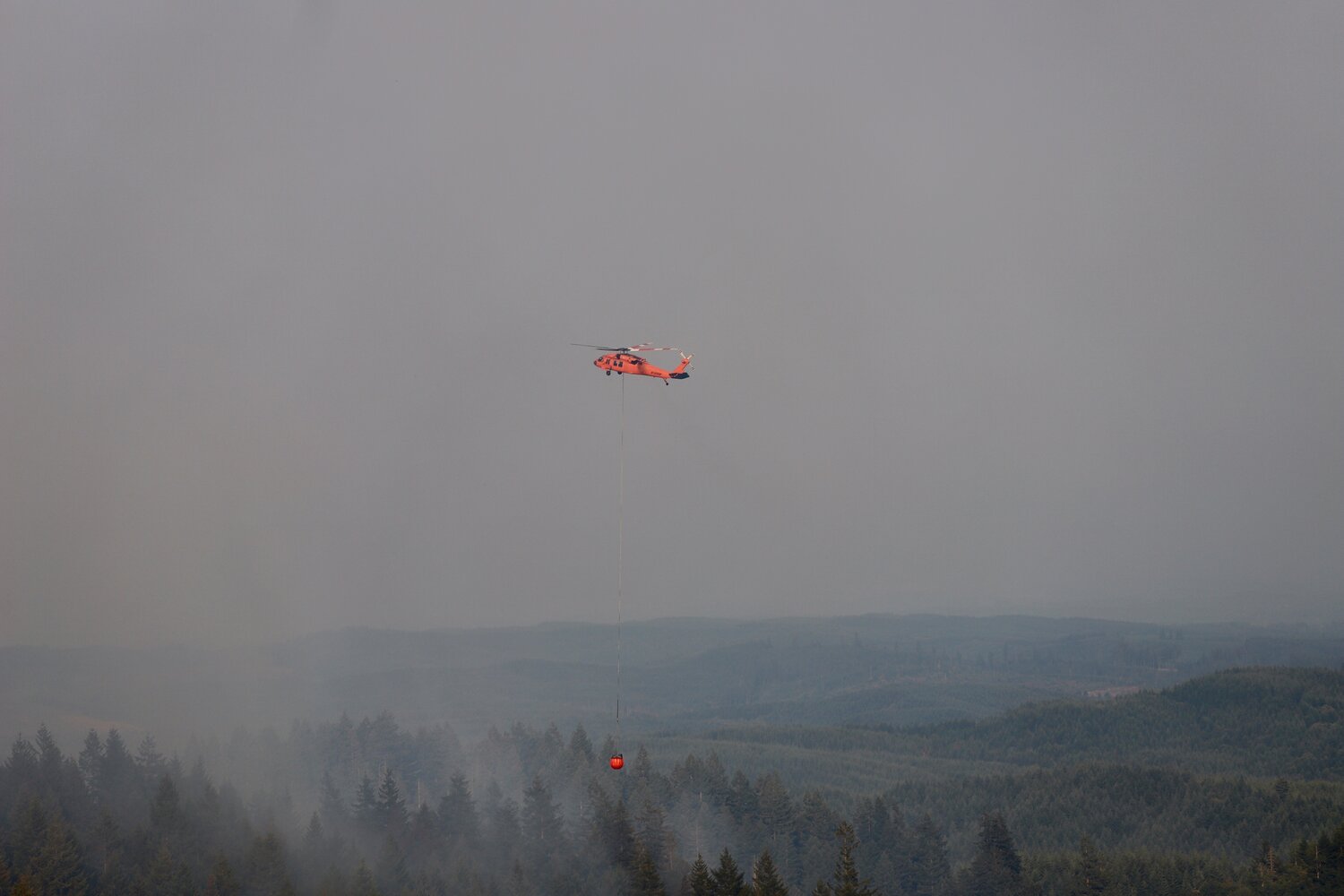
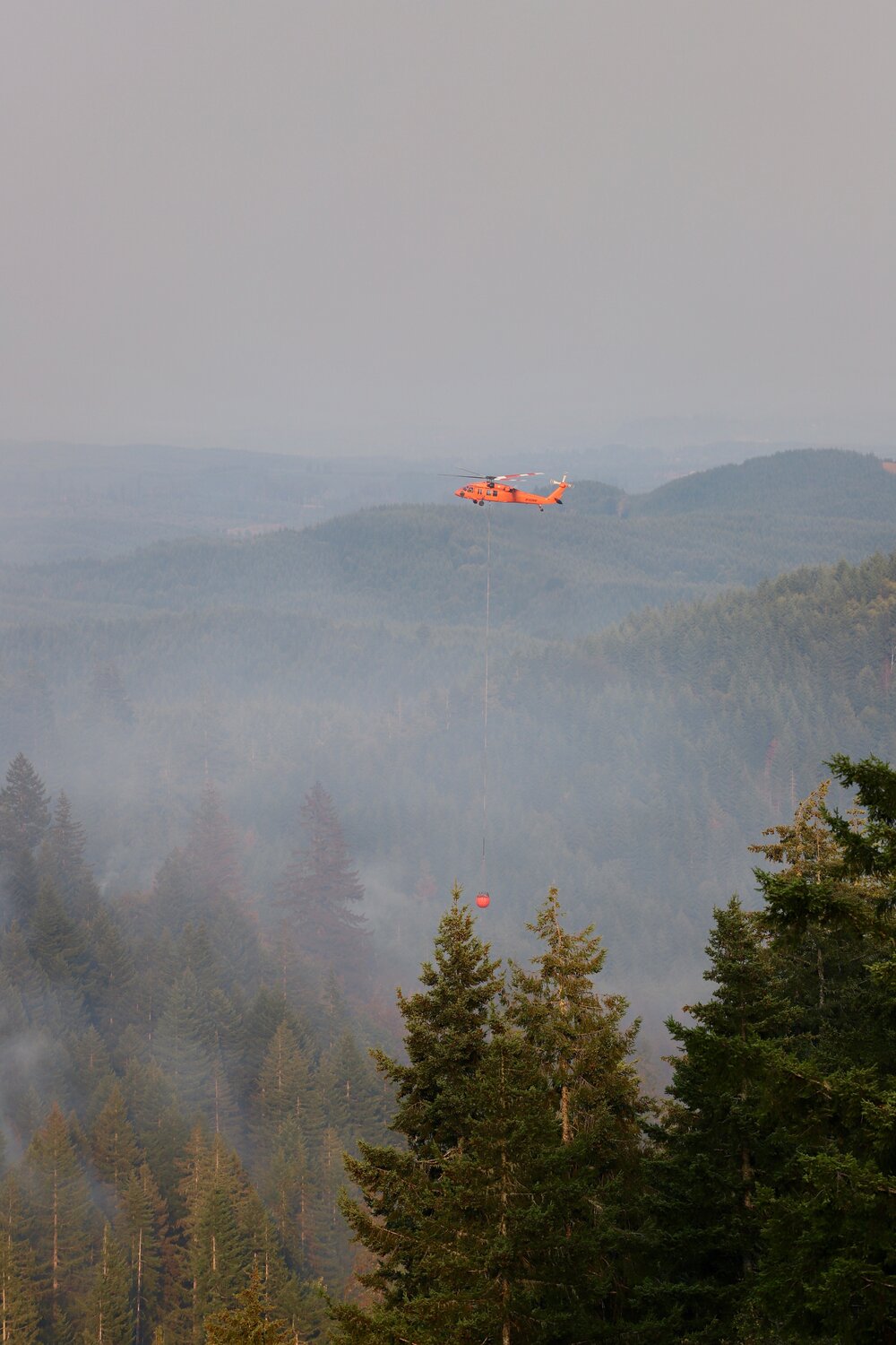
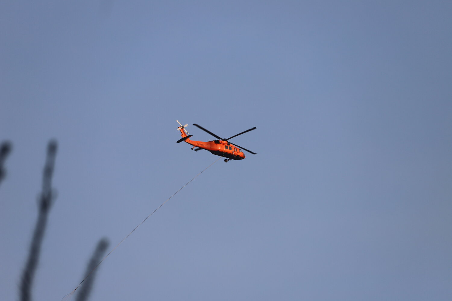
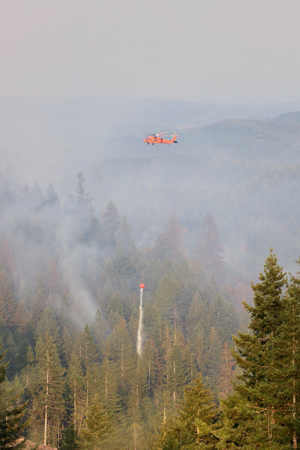
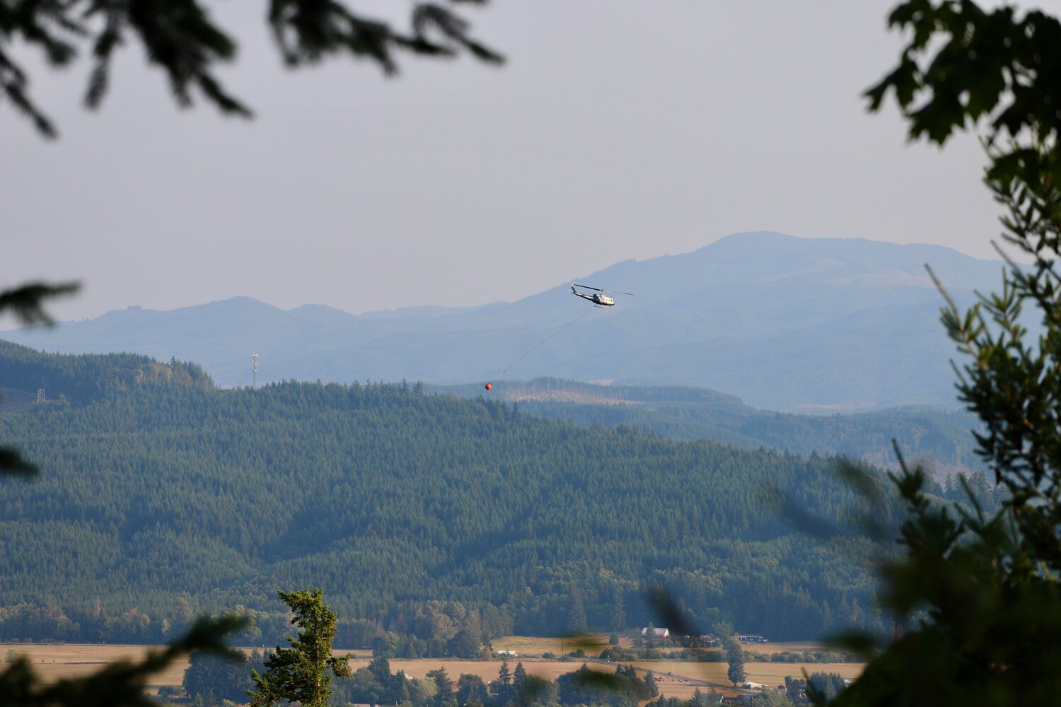
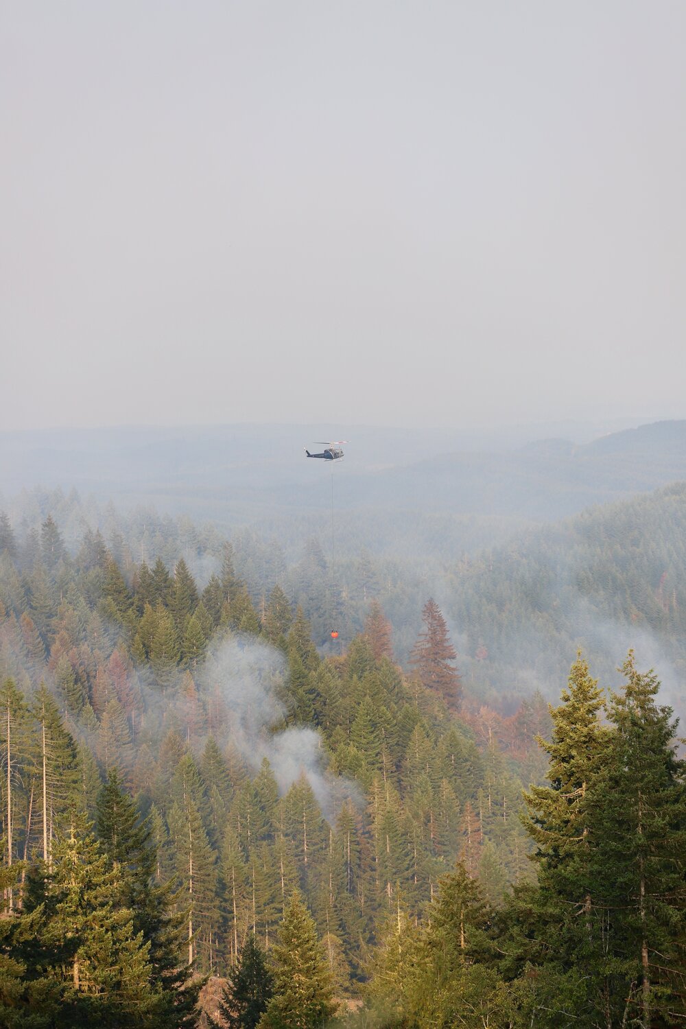
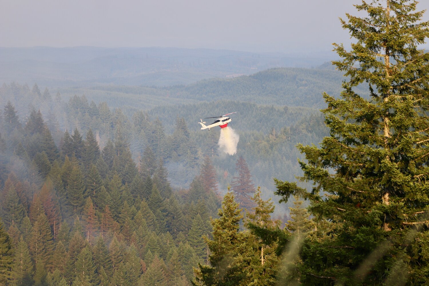
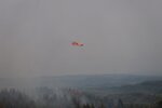
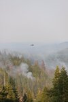
DNR has air operations, including planes and helicopters, that are currently working the fire.
Weather conditions throughout the day Sunday may threaten to worsen the fire, McDowell said.
Fortunately, he added, the Chandler Road Fire is currently in a “no man’s land” where it is not threatening any structures or communities.
Two fires west of Morton are within “not even miles” of one another, according to McDowell, and have the potential to merge. The larger of the two is known as the “Harmony Fire,” at 2 acres.
After a hot, dry summer, lightning storms in East Lewis County late last week started dozens of fires throughout the Gifford Pinchot National Forest and surrounding areas.
“We’re asking people to stay out of Forest Service land,” McDowell said.
While lightning strikes have caused several visible fires, he said, there is also the potential for smoldering fires in forest underbrush, which could be worsened by windy conditions.
Anyone who “doesn’t have to” go to the Gifford Pinchot, McDowell said, shouldn’t.
“The other big thing,” he said of the current challenges, are drones. Drones near wildfires hinder responders. Air operations cannot continue when drones are flying nearby, he said, and helicopters have to ground and cease their work.
A type 3 incident management team was set to form on Sunday in order to plan for management of the Gifford Pinchot fires.
McDowell categorized incident management teams on a scale of types 1-3, with type 1 being the most significant. Fire camps are set up for type 2 teams, he said, and type 1 “is like, holy cow, call in the military.”
Resources for firefighting in Lewis County are “skinny” at the moment, with many wildland firefighters having been assigned to a large fire in Northern Oregon, McDowell said. Though, none in Lewis County have yet caused road closures or evacuations.
Near the Northern border of the county, a fire near the road to Paradise has the potential to close access to Mount Rainier and cause evacuations near Ashford, McDowell said. Near Lewis’s southern border, in Skamania County, the “Adams Fork Fire” was last recorded at 11 acres just before noon on Sunday.
Lewis County currently has a total burn ban in place.
Keep up to date with Lewis County Emergency Management on Facebook at https://www.facebook.com/profile.php?id=100072464765616&mibextid=2JQ9oc.
Residents can also sign up for emergency notifications at https://lewiscountywa.gov/departments/emergency-management/lewis-county-alert.


