Heat waves, rivers of rain from the tropics and now a record-breaking snap of bitter cold.
Western Washington's weather has been full of extremes this past year, and much of it unfolded the way climate scientists have been predicting for decades. For three local meteorologists asked to weigh in on the year's most significant weather, the record-setting year was not unexpected.
"I don't think it takes a rocket scientist to see where this is going," said Justin Shaw, who writes the Seattle Weather Blog.
Joe Boomgard-Zagrodnik, a former Washington State University meteorologist who now works in the private sector, said the year epitomized the predictions of climate scientists.
Here are the weather events Shaw, Boomgard-Zagrodnik and Logan Johnson, meteorologist in charge at the National Weather Service in Seattle, listed as the most extreme this year:
Significant wind and rainstorm in January
The first of the extreme weather events Johnson listed occurred in January. A period of significant storminess and consecutive atmospheric river events brought flooding to dozens of rivers. Many landslides were observed as well.
On Jan. 12 and 13, winds gusted from 50 to 70 mph across the lowlands and upward of 80 mph in the mountains. This included gusts of 58 mph at Seattle-Tacoma International Airport, 64 mph on Whidbey Island, 56 mph in Tacoma, 48 mph in Everett and 49 mph in Bellingham.
These winds toppled trees and brought power outages, with more than 500,000 customers out of power around the Puget Sound region during the peak of the event.
Heavy snow in February
While there were a few small snow events around the Seattle area during the winter of 2020-21, Johnson said the most significant came Feb. 12-14.
About 6 to 12 inches of snow fell from the Everett area south into Oregon, with Portland receiving 9 inches of snow.
In some areas, Johnson said, this was followed by a significant amount of freezing rain.
At Sea-Tac, 8.9 inches of snow were recorded on Feb. 13, making it the snowiest single day recorded in the month of February at the airport, and the snowiest single day at Sea-Tac since Dec. 31 of 1968.
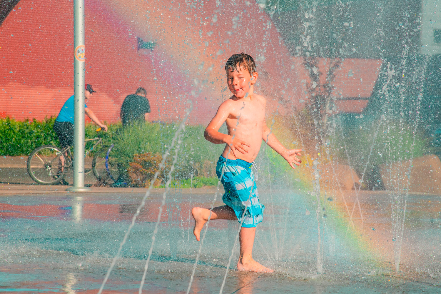
Record-breaking June heat
Shaw, Boomgard-Zagrodnik and Johnson all said that the heat wave in late June — when Seattle hit a record-shattering 108 — was astonishing.
"That was an event beyond the scope of anything we'd ever experienced before and it rewrote the narrative of what is even possible in the Pacific Northwest," said Boomgard-Zagrodnik. "It was incredible."
The unprecedented heat wave brought record high temperatures to several states and portions of Canada.
June 24-28 brought five consecutive days at or above 90 degrees in Seattle, including three straight days at 100 degrees or hotter. Seattle recorded its all-time hottest temperature on June 28, with a high of 108 degrees.
Olympia reached 110 degrees that day, while Everett hit 100 and Tacoma 105.
Numerous fires were reported across the area along with infrastructure impacts from buckling roadways and railways, and hundreds of people died across the region, Johnson said.
Looking back, it seems that 2017 was "the year when the switch got flipped," said Shaw. Out of the last five years, all but 2019 brought record-breaking heat, unprecedented wildfires in the northwest and smoke in Seattle, he said.
Wettest fall on record
Also incredible, all three meteorologists said, was our rainy fall with bomb cyclones, one atmospheric river after the next, and the wettest meteorological fall in Seattle's recorded history.
While fall is typically a soggy time of year, the fall of 2021 was especially so.
Narrow plumes of moisture originating over the Pacific tropics, known as atmospheric rivers, brought torrential rain that forced evacuations, brought power outages, landslides and severe flooding, and prompted Gov. Jay Inslee to declare a severe weather emergency.
Over 19 inches of rain were recorded at SeaTac between Sept. 1 and Nov. 30, compared with 11.81 inches in a normal fall, Johnson said.
Bellingham saw its wettest fall on record, with 23.55 inches of rain (breaking the previous record from 1990 by over 6 inches). Over 67 inches of rain were measured at a weather observation site on the coast near Forks this fall.
November-December atmospheric rivers
As part of the wettest fall on record, November was itself a record-breaking month in many areas.
November is typically the wettest month of the year for Seattle, so that made this year's total of 10.26 inches that month at Sea-Tac even more noteworthy. A series of atmospheric river events throughout the latter portion of the month brought heavy rainfall and very high snow levels (meaning snow was accumulating only at high elevations) across Western Washington, Johnson said.
Two straight weeks of rain beginning on Nov. 18 left many regional mountains bare through early December and contributed to widespread mudslides and flooding.
Significant flooding was recorded at the Skagit and Nooksack rivers in Whatcom County and adjacent portions of British Columbia, which sent hundreds of residents from their homes in communities along the rivers' edge, including Everson and Sumas.
Mount Vernon saw near-record flooding, with some of the highest river levels on the Skagit since the 1990s. Flooding and landslides produced significant impacts on area roadways, shutting portions of Interstate 5 south of Bellingham as well as many roads on the Olympic Peninsula.
"They said summers would be warmer and drier and winters would be wetter, and that's exactly what's happened," Boomgard-Zagrodnik said.
End of December's cold snap
An arctic blast the last week of December brought some of the coldest daily temperatures on record to the Puget Sound region as well as . The winter weather blanketed roads in snow and led to holiday travel disruptions and power outages.
On Dec. 26, the low at Sea-Tac was recorded at 20 degrees, beating the previous low temperature record of 22 degrees for that date, set 73 years ago in 1948.
Dec. 27 marked a second day of record-breaking lows. The low temperature at Sea-Tac was recorded at 17 degrees, beating by three degrees the 1968 record of 20 degrees for the date.
Though a daily record was not set on Dec. 28, temperatures remained below freezing, marking the longest stretch of subfreezing weather since 1998, Shaw said.
By Dec. 29, some parts of the Puget Sound region had already topped their average snowfall totals for the month. In Seattle, 3.9 inches of snow had been recorded, more than two times the city's normal December tally.


