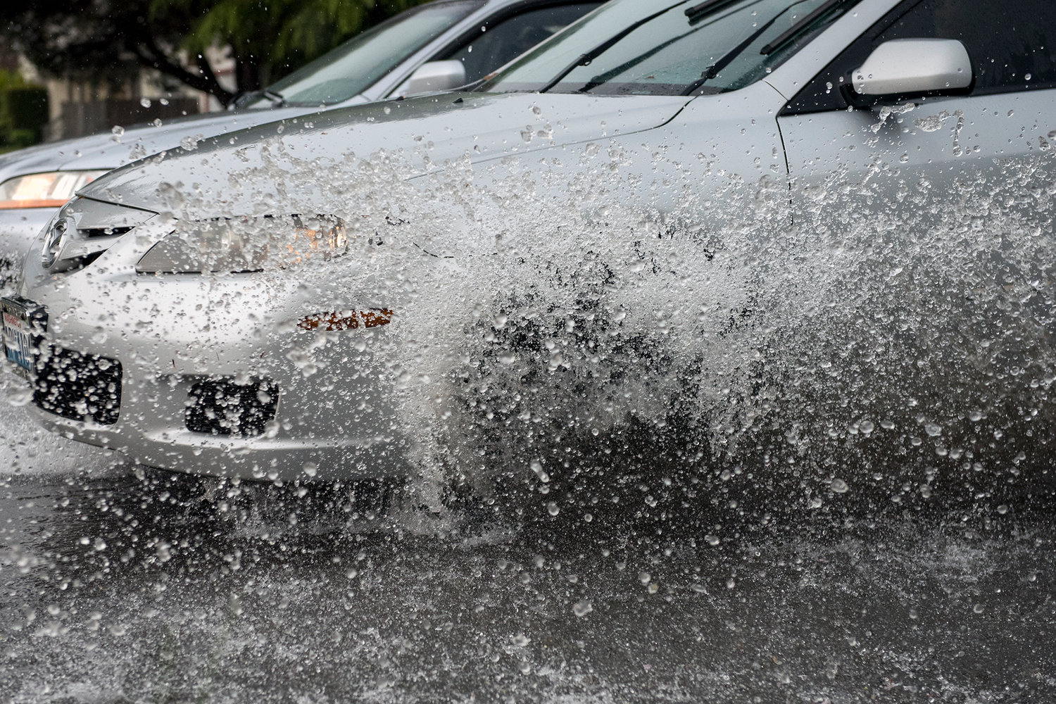
Drivers navigate urban flooding along South Pearl Street in 2017.
The first flood watch of the season will be in effect for Lewis County residents beginning at 4 a.m. Tuesday. The National Weather Service chose to issue the alert in advance of a significant band of rain and wind forecast to blow through the area overnight into Tuesday morning.
Heavy rainfall set to begin Monday evening could drop much as 5 inches of rain onto elevated portions of the county such as the Willapa Hills, with 2 to 3 inches expected closer to Centralia and Chehalis.
The NWS singled out the Chehalis River near Doty as a potential site for minor flooding. Meteorologist Jay Albrecht said if the storm behaves as expected, anything more than localized flooding is unlikely to occur.
“With the amount of rain we’re looking at, the rivers come up but don’t quite make it to flood stage,” Albrecht said. “They should stay under, but it will be close. It wouldn’t take much slowing of this system to cause problems, while it won’t cause much of a problem at all if it moves through more quickly.”
Albrecht added that though other portions of the Chehalis or other rivers such as the Cowlitz or Neuwaukum may rise to within a few feet of the smallest of possible flood stages, the NWS is only concerned about the Doty area at this point in time.
Steve Mansfield, Director of Emergency Management for Lewis County, echoed Albrecht and said not to worry about flooding out of any major water flows within the I-5 corridor or on the Cowlitz River near Randle.
“Everything I’m getting right now shows the Chehalis at Mellen (Street) will probably be almost 4 feet below flood stage (Wednesday morning),” Mansfield said. “The Skookumchuk looks like it’ll be 6 feet below stage one. That doesn’t mean there won’t be surface flooding, but there’s no prediction for ravine flooding in any sort of way.”
Mansfield suggests families use this weather event to review their emergency action plans and supplies. Those interested in updates from county staff can sign up for the Lewis County Alert system at lewiscountywa.gov.
“Right now, we’re starting to get saturated and starting to get some snow in the mountains,” Mansfield said. “Those are some things we start to watch in Lewis County. For us to have a major flood event, usually we have all three river basins rocking at the same time with snow in the hills, then we get something that stalls up the hills and we have a problem.”
Localized flooding is possible on city streets if drains get clogged with debris or experience backflow.
Kim Ashmore, Public Works Director for the city of Centralia, said he’s not too concerned about flooding out of China Creek. He expects the storm to be a good test for the nearly-completed effort to reshape and fortify the creek against potential flood events.
“Obviously, well probably have some intersections that potentially could be flooded,” Ashmore said. “Water-over-roadway type of things.”
The worst of the storm could bring flooding and wind gusts in excess of 60 miles per hour to portions of the Interstate 5 corridor between Salem, Oregon and Vancouver, Washington. Gusts in Lewis County are expected to stay below 40 mph.
For more information and to keep up with the latest river data, visit forecast.weather.gov or rivers.lewiscountywa.gov


