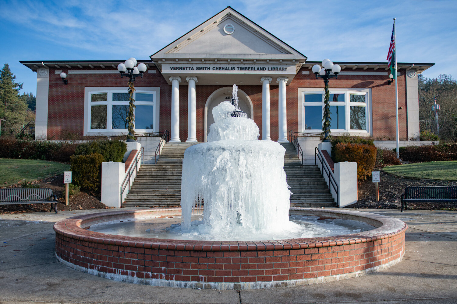
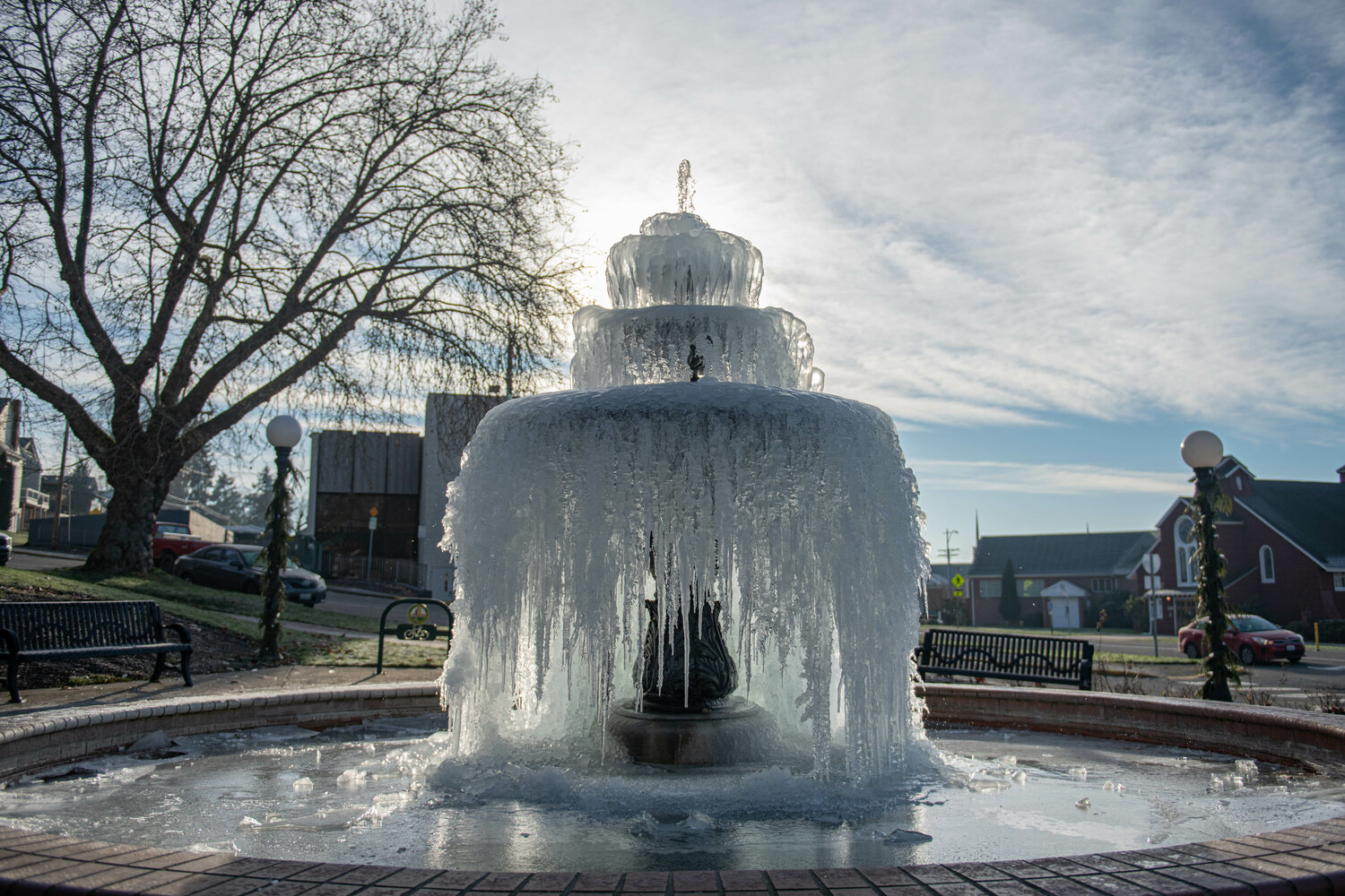
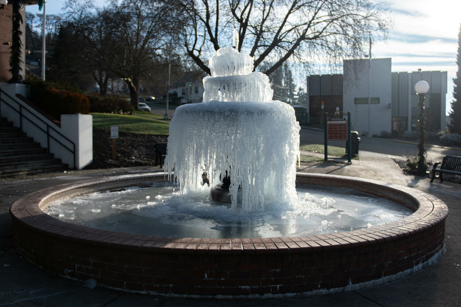

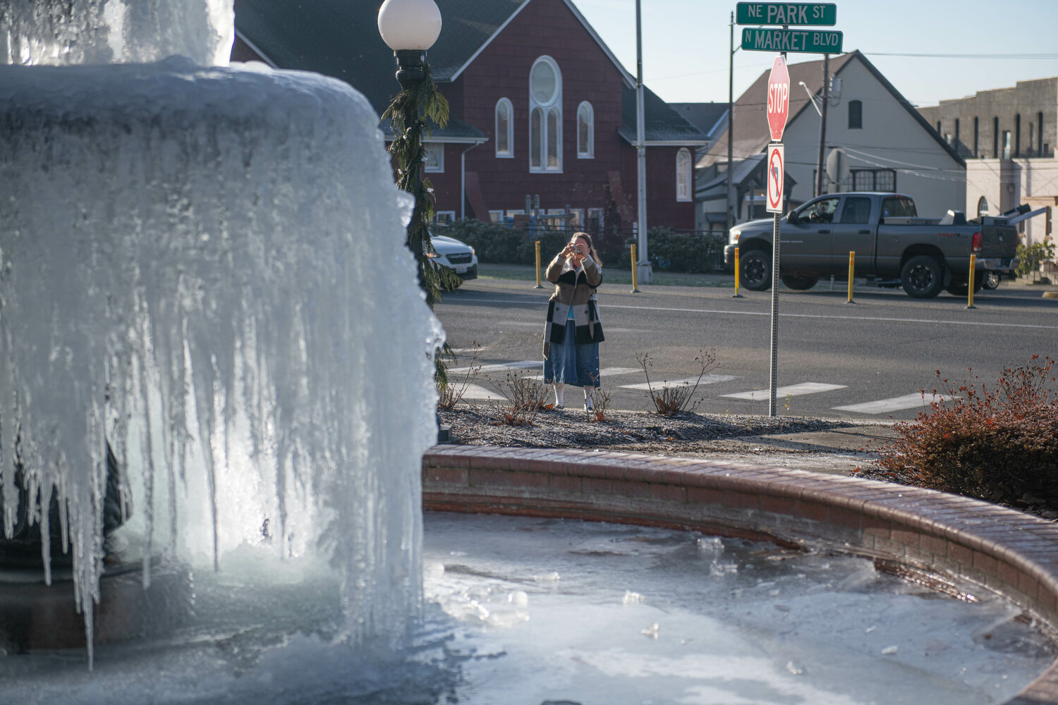


After a weekend of temperatures in the 10s and 20s, the mid-to-high 40s temperatures forecast for later this week seem almost balmy.
But Lewis County isn’t clear of winter weather hazards yet.
As of Monday afternoon, the National Weather Service forecasts freezing rain for the Twin Cities area on Tuesday, snow and rain mixes for East Lewis County on Wednesday, and winds between 10 and 15 miles per hour throughout Lewis County on Wednesday.
A winter storm watch for the Cascades, including Morton, Packwood and Randle, is in effect Tuesday afternoon through Thursday morning.
The National Weather Service forecasts heavy snow above 500 feet, with expected total snow accumulations of 4-12 inches at 1,500 feet, 18-30 inches across the passes and 3 feet above 5,000 feet.
“Snow levels will begin near sea level, then rise to 1,500-2,500 feet by Wednesday morning,” the National Weather Service stated in the weather advisory.
Winter weather across Lewis County should fully transition to rain Thursday and Friday as temperatures warm up, according to the National Weather Service.
For updated weather forecasts, visit https://www.weather.gov/sew/.
For updates on local conditions and available resources, visit Lewis County Emergency Management’s Facebook page at https://www.facebook.com/profile.php?id=100072464765616.


