


What’s the opposite of serendipity?
Probably something like the National Weather Service (NWS) putting a “Flood Watch” on the Cowlitz River at Randle as emergency responders from across Lewis County gather for an annual meeting on flooding.
Come early November, it’s time for residents of the Chehalis and Cowlitz river basins to shift focus from fires to floods. With an atmospheric river (a weather event that causes heavy rain) forecast late this week, the need for preparation now is clear.
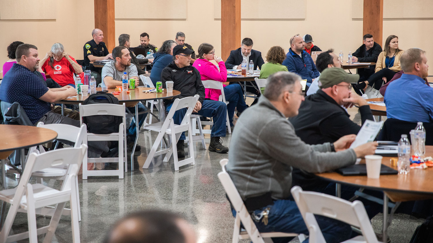
This year’s meeting was held Thursday at Jester’s Auto Museum by the Lewis County Division of Emergency Management. Most of the about 40 attendees represented law enforcement, fire stations, municipalities and other disaster responders. But, everyday citizens benefit just as much from the lessons learned after last January saw the Chehalis Basin’s worst flood in a decade.
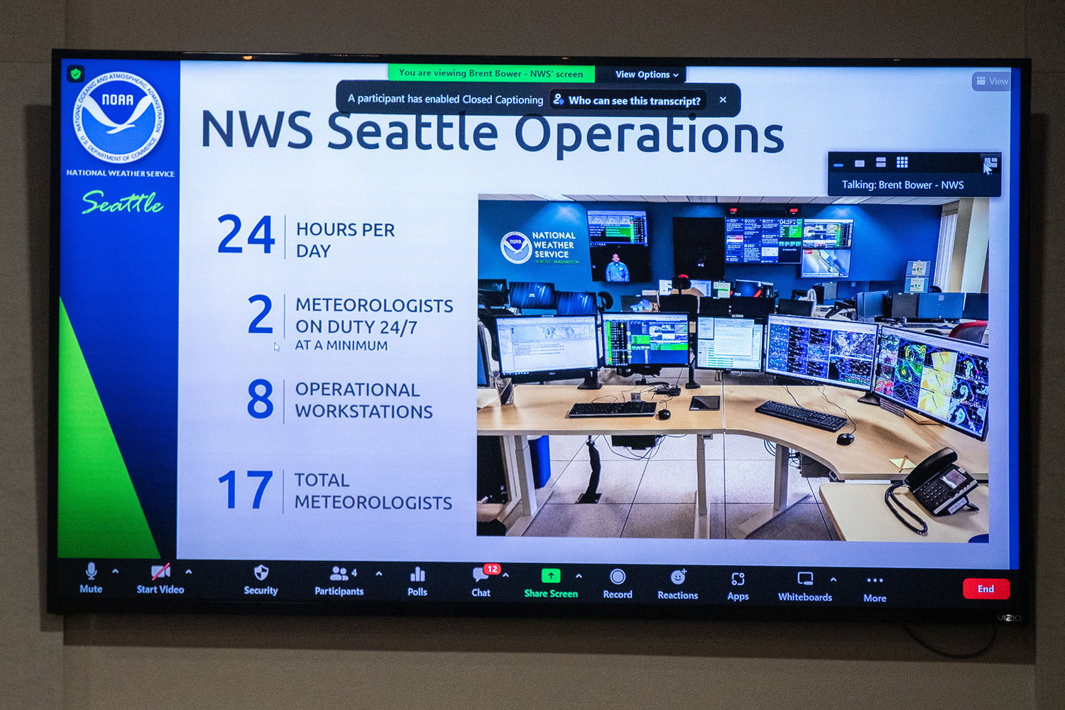
According to Brent Bower with the NWS Seattle, this is a La Niña year, signaling a wetter, colder winter than average. November, he said, is forecast to be particularly wet, making the area more prone to early season flooding.
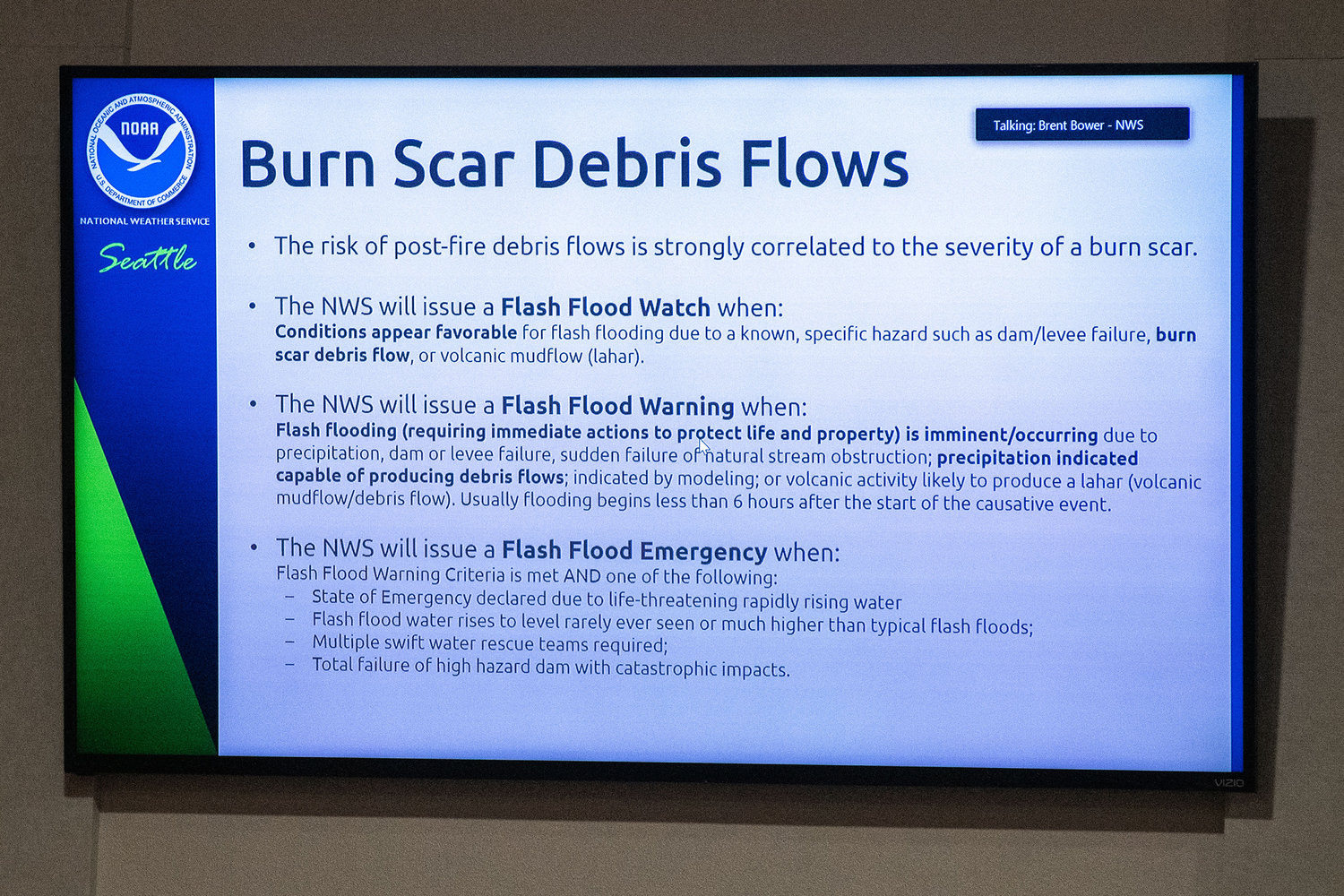
As the rain ramps up suddenly, Bower said the NWS is keeping a close eye on landslide potential in burn scars, including from the Goat Rocks Fire. The Bolt Creek Fire farther north has seen flash flood warnings at the burn scar, he said. At this time, the Goat Rocks Fire scar is less of a worry due to its size and the number of trees still standing.
The first step in flood preparedness for residents is to keep an eye on the weather and subsequent river levels. Scott Boettcher, who works with the Chehalis River Basin Flood Authority, said the availability of flood data now can empower residents to make decisions on evacuation and travel. Boettcher presented https://chehalis.onerain.com/, a site that pulls together weather, inundation maps, river forecasts and much more.
By emailing scottb@sbgh-partners.com and dcurtis@westconsultants.com with a name, email and a list of desired river gages along the Chehalis to observe, residents can now receive email alerts when waters are high.
Within the last few days, a gage was added to China Creek. While it may be a few seasons before the data gives Centralians a good read on the effects of the creek at various levels, this is a positive step for damage reduction in the Hub City.
“This is your system,” Boettcher said. “And it’s an important first line of defense.”
Visitors to the NWS website can also customize and bookmark their own river gage observation page. On the Cowlitz, this gives viewers a real-time view of the water’s height at Packwood, Randle and elsewhere. Head to https://water.weather.gov/ahps2/index.php?wfo=SEW to find this tool for Washington.
When flooding begins, residents can receive information on obtaining sandbags, when to evacuate and more from the Lewis County Division of Emergency Management. The department’s Facebook page, which is under the same name, is consistently updated. And, with emergency management’s Lewis County Alerts system, folks can receive notifications for happenings related to as many registered area addresses as they choose. To sign up, search “Lewis County Alerts.”
Ross McDowell, deputy director of emergency management, also reiterated the steps to mitigate personal and financial loss from floods. These include lofting belongings as high as possible inside the house, never driving through flood waters or past road closure signs, and avoiding contact with flood waters to prevent infection, contamination and more.
For current road closures, head to https://roads.lewiscountywa.gov/.
What Lewis County Learned
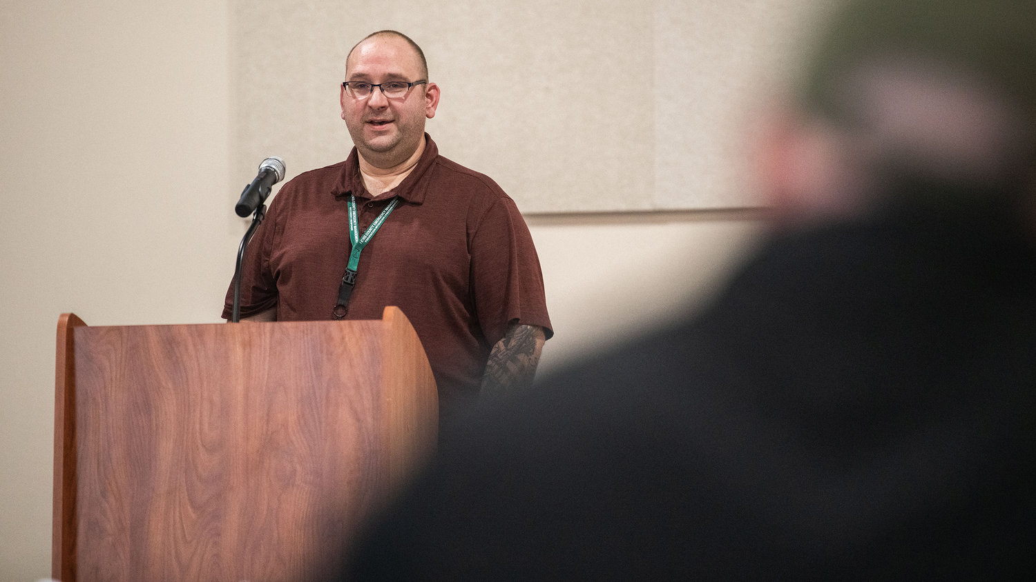
On Jan. 7, the most widely-felt impact of flooding from the Chehalis River and tributaries was the closure of Interstate 5 for several hours by the state Department of Transportation. The move was criticized by local officials, who felt it should be a Lewis County call. But the controversy forced state and local agencies to reevaluate an I-5 closure plan that hadn’t been updated since before the Labree Road Exit was constructed, said McDowell.
“Our after-action report … a lot of good things came out of it,” he told the crowd on Thursday, adding later, “We expanded partnerships, which was nice, too. We ended up getting three or four new partners or individuals,” who helped to shelter and feed victims or fill sandbags.
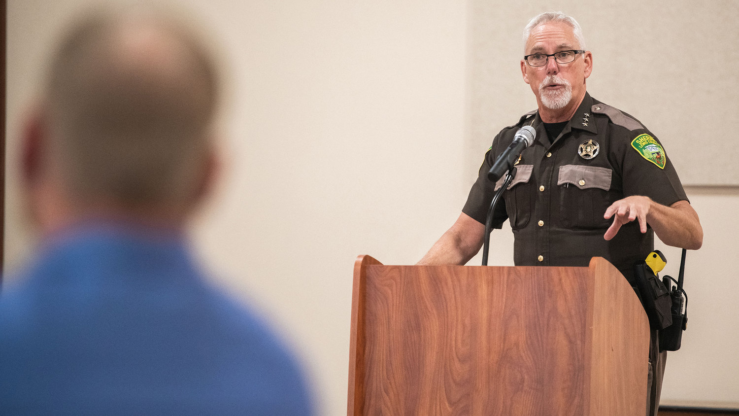
Due to both Cowlitz and Chehalis river flooding, the Chehalis Fire Department, the Lewis County Sheriff’s Office and the Washington Department of Fish and Wildlife also recently joined forces for a 15-person swift water rescue team. According to a report from the sheriff during Thursday’s meeting, 10 people were rescued from high waters in the most recent Chehalis flood event.
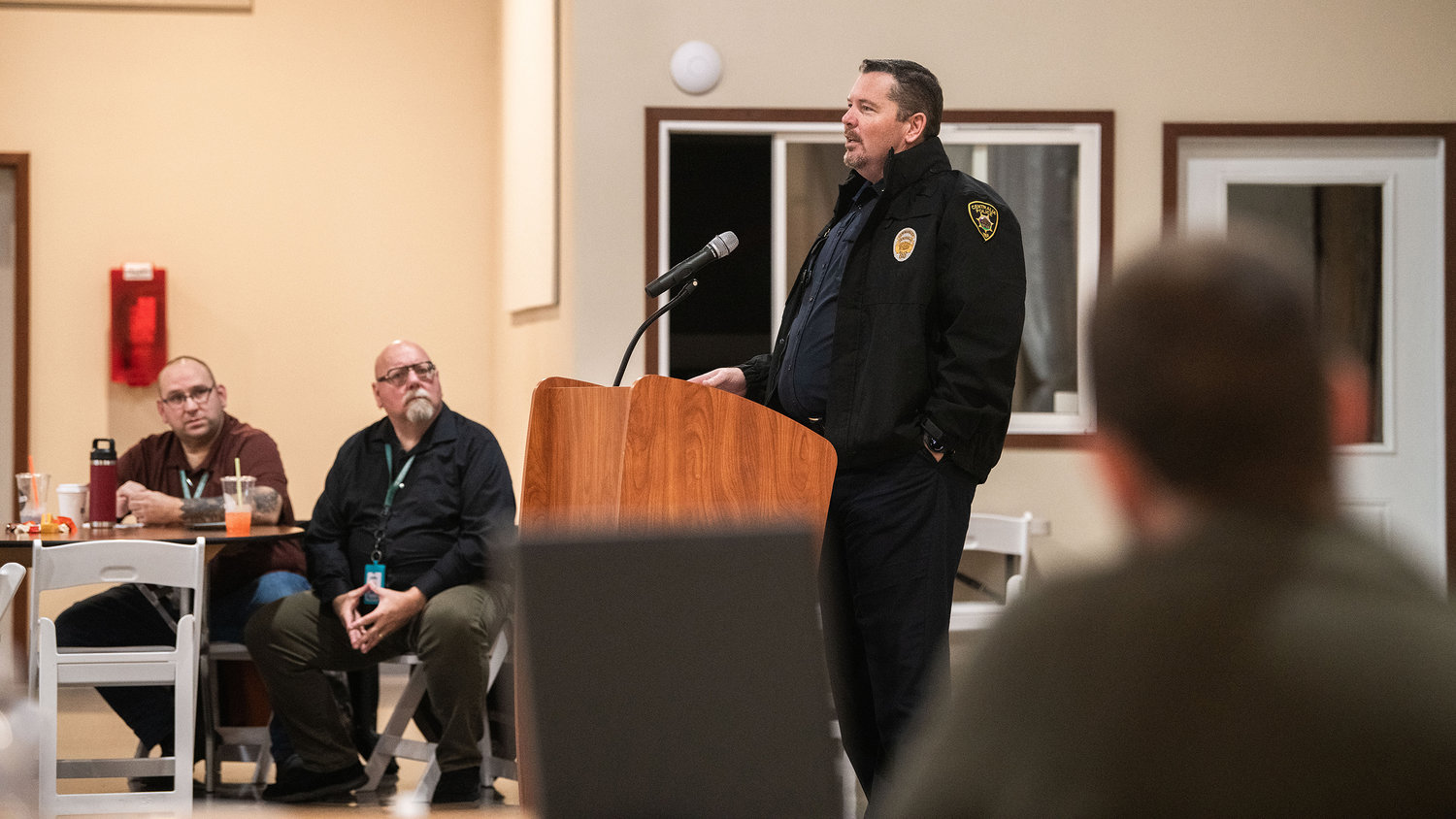
The Centralia Police Department and other law enforcement agencies began issuing citations for drivers who went past road closure signs to discourage driving in flood waters — the most common and avoidable reason for rescues. And, according to Commander Andy Caldwell, the department boosted its collection of “road closed” signs during the off-season in preparation.
“One of the big things I think we’ve all known from being here (during flooding) is that teamwork makes everything happen,” said Lewis County Commissioner Lindsey Pollock to attendees Thursday. “It’s going to be relying on our neighbors and folks in all the different departments to get through any major disaster.”


