


By Marqise Allen
mallen@chronline.com
Chehalis-Centralia Airport Manager Allyn Roe said proposed new Federal Emergency Management Agency flood maps would kill the airport if finalized as they’re currently drawn.
“It would mean the death of the airport,” he said. “If we aren’t able to replace hangers (after flood events), it slowly dwindles down the airport capacity.”
The preliminary maps are scheduled to be released in mid-March, but drafts circulating around the county show the Chehalis-Centralia Airport and most of the property on both sides of Interstate 5 near Exit 79 now in the floodway, a heavily restricted legal designation for the area that essentially is flowing as a river during a major flood event.
The changes are a dramatic shift from the adopted 1981 flood maps that have the airport and the surrounding area in the floodplain, a much less restrictive area to develop.
“It was a surprise to us,” Roe said. “You look at the maps and wonder what model they used. It seems like the 2007 event weighted heavily. You look at the maps and it looks like the 2007 flood.”
Roe said the Federal Aviation Administration along with state flying and pilots associations could get involved in the process depending on what the preliminary maps show.
“We’re going to see where it goes and be involved,” he said.
Expanding the floodway could also stunt the growth of the airport’s biggest money maker, the Twin City Town Center.
The airport owns the area that houses Walmart and Home Depot along with other stores. Roe fears development restrictions may force existing companies looking to expand to move elsewhere, while turning away future tenants.
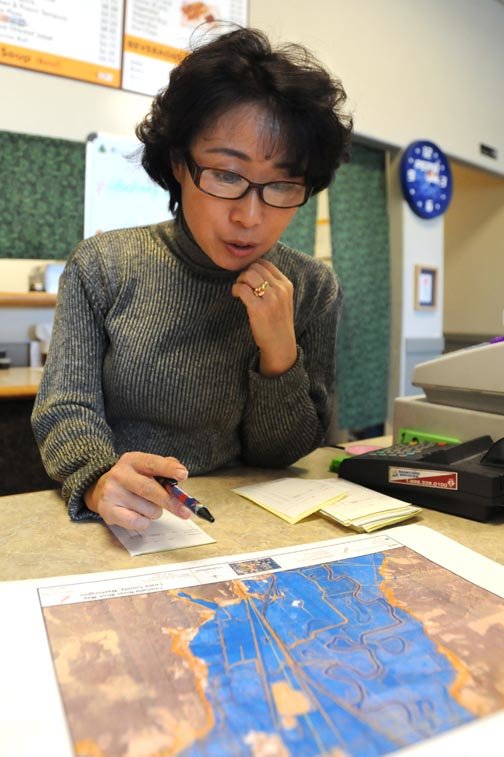
Yongmi Douglas, manager of Kobo Teriyaki in the Twin City Town Center, said she’s been thinking about moving since long before she saw the new draft maps.
“But it’s not easy, because I put too much money in here,” Douglas said.
Douglas closed her doors for nearly two weeks after the December 2007 flood ruined the flooring in her building. During the storm she also lost power, and her refrigerated food went bad. She didn’t have flood insurance to cover most of the water damage, but she said she was able to recoup some money on her lost inventory.
She still doesn’t have flood insurance. It’s too expensive, Douglas said. It will become even more costly if her business is now classified as in the floodway.
“I want to stay longer, but winters really make me nervous,” Douglas said, adding that potential changes which also restrict how businesses rebuild after flood events don’t help. “I just work hard and pray hard.”
Centralia-Chehalis Chamber of Commerce Director Jim Valley has seen and heard business owners go through one of two emotions depending on their location on the new draft maps.
“We’ve seen relief, and we’ve seen some trepidation,” Valley said about his conversations with local business owners. “The floodways, as they currently stand on the maps, (are) very bad news for some businesses.”
Valley said the chamber wants to inform businesses and home owners and spark conversation on the topic. Valley expects the preliminary maps, which The Chronicle and the Chamber have posted on their Web sites, will take some time to be finalized, but he says the initial proposals don’t look good.
“People expect this area to grow some more,” Valley said about most of the area between National Avenue and Scheuber Road in Chehalis currently slated to be designated in the floodway. “If these turn out to be final, that won’t happen.”
•••
Marqise Allen: (360) 807-8237


