The plan to expand Mount Rainier’s seismic monitoring systems — aimed at warning hikers and residents of oncoming eruptions, landslides or mudflows — is moving forward. And the public is now invited to comment on an environmental review of the proposal.
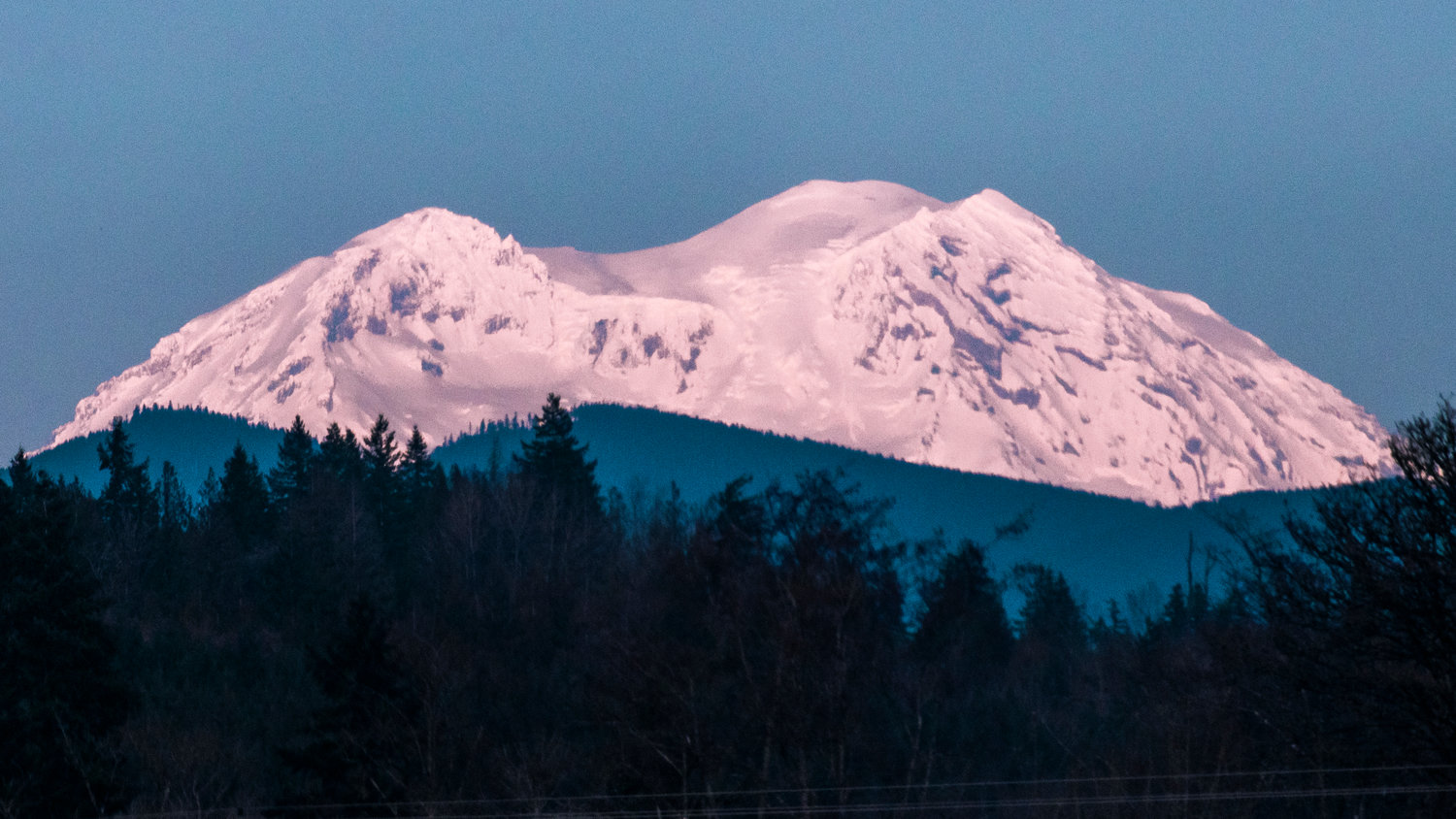
Mount Rainier is an active volcano with a history of major mudflows, or lahars. According to the National Park Service, those lahars have historically impacted areas where Washingtonians now live: 2.5 million people now live in six different lahar drainages.
In 2008, the U.S. Geology Survey recommended that “very high threat volcanoes” like Mount Rainier have 12 to 20 seismic and GPS stations in order to provide early warning of any potentially dangerous activity. The size of Mount Rainier may demand more.
Mount Rainier currently has a network of 18 seismic and six GPS stations, and the new environmental review evaluates the plan to add 12 more monitoring stations in Mount Rainier Wilderness, governed by the 1964 Wilderness Act which generally prohibits permanent installations. The analysis considers the impacts on threatened species, including the northern spotted owl and marbled murrelet, and considers multiple alternatives to the project.
Review the project and environmental assessment and provide comment here: https://parkplanning.nps.gov/projectHome.cfm?projectID=95553
A virtual informational meeting will be held Wednesday, June 9, and a link will be listed on the project’s website. Public comment is open through June 25.


