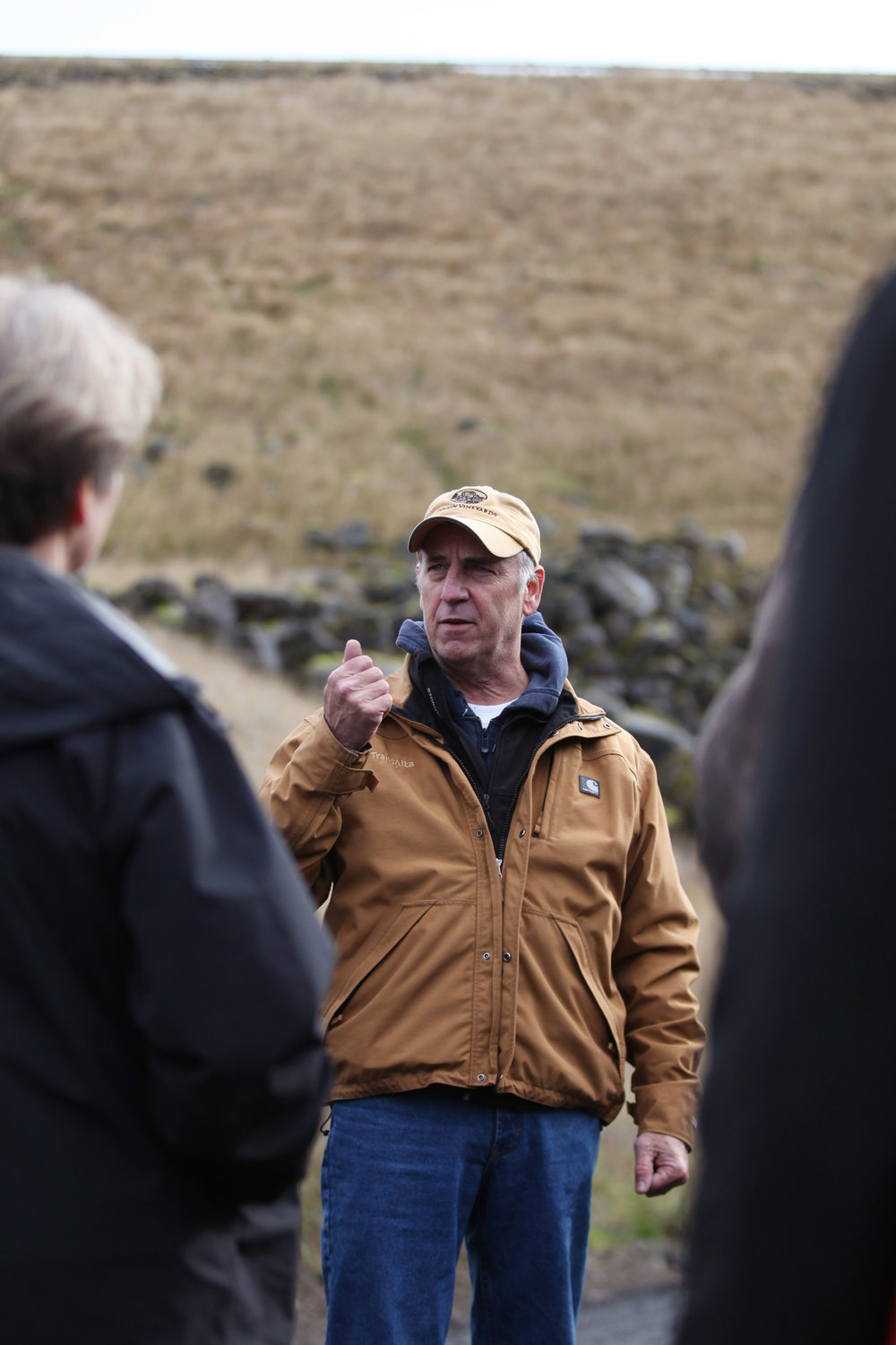
Tom Emrich, a TransAlta engineer, points to the reservoir formed by the Skookumchuck Dam during a Flood Authority tour of the dam east of Bucoda on Thursday.
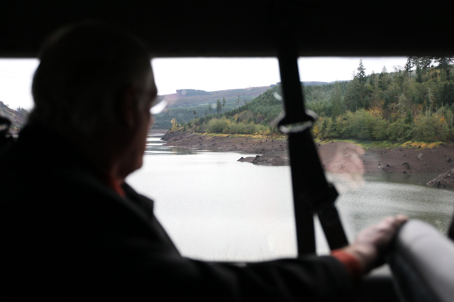
Lewis County Community Development Director Bob Johnson looks out on the Skookumchuck Dam reservoir during a Flood Authority tour of the dam in rural Thurston County on Thursday.
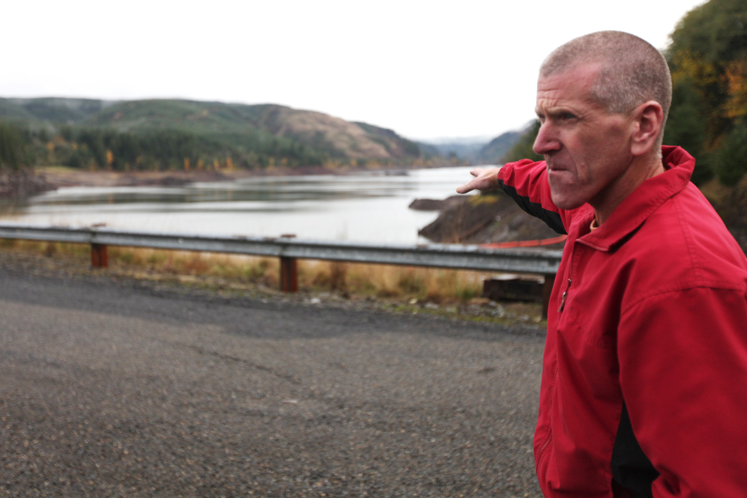
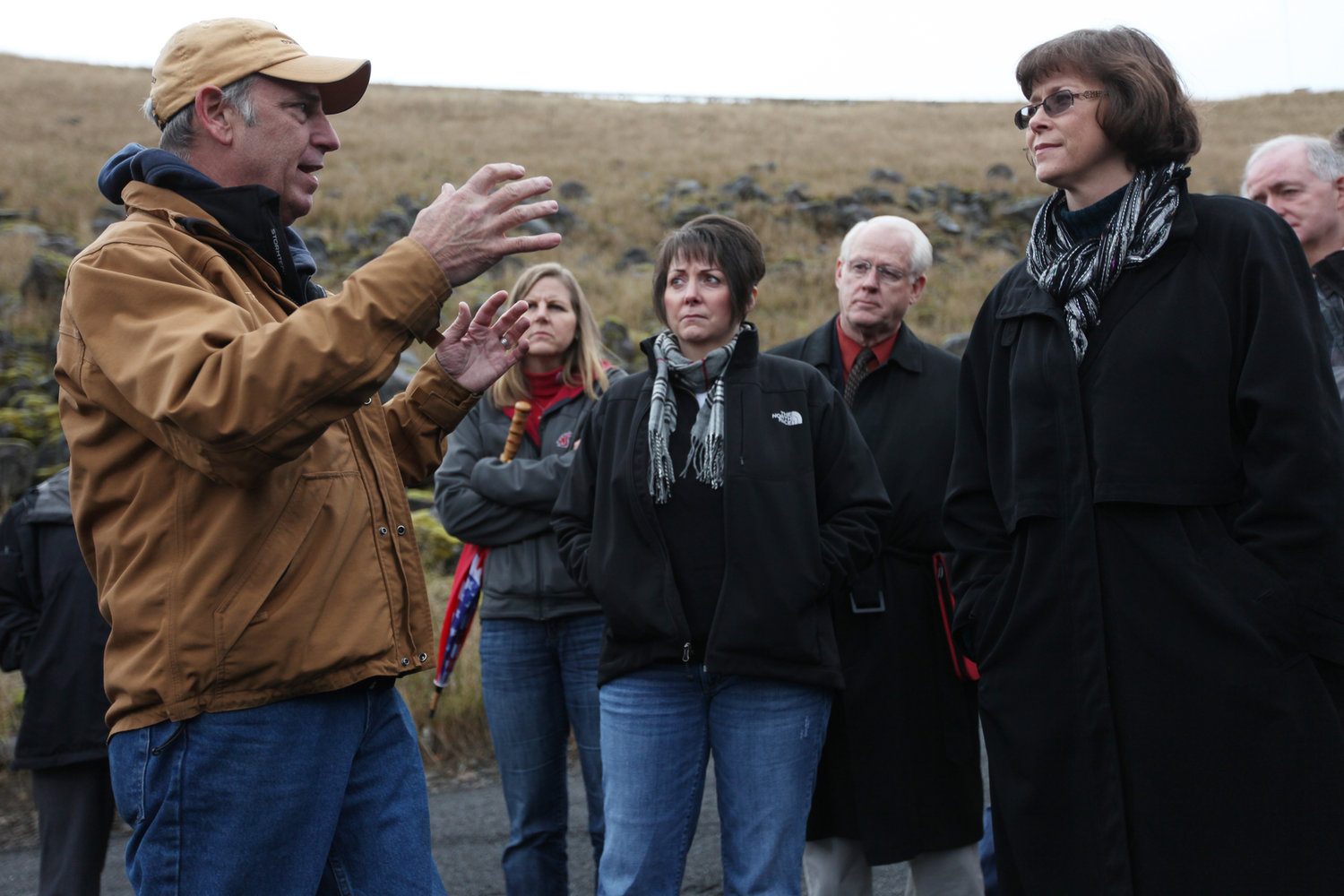
Tom Emrich, right, a TransAlta engineer, speaks to collected members of the Chehalis River Basin Flood Authority during a tour of the Skookumchuck Dam facility Thursday.
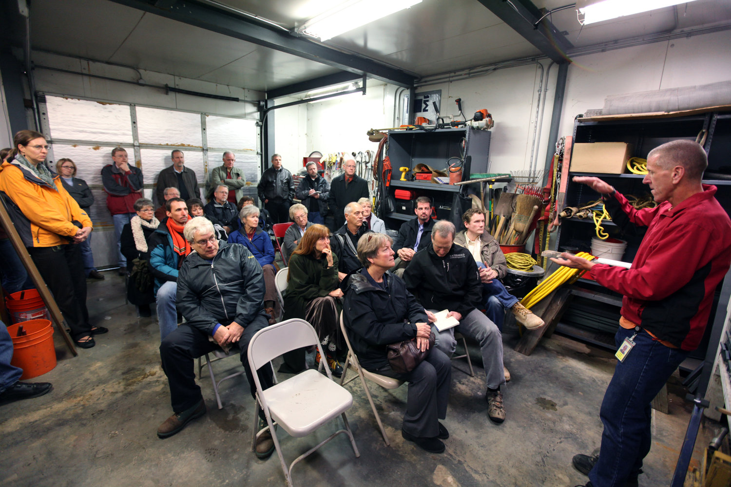
Larry Webster, center, Process Systems Manager for TransAlta, speaks to Chehalis River Basin Flood Authority members Thursday. Behind him is the grass-covered earthen Skookumchuck Dam.
Larry Webster, center, Process Systems Manager for TransAlta, speaks to Flood Authority members in front of the earthen Skookumchuck Dam Thursday.

Tom Emrich, right, in red, shows Flood Authority members the overflow slip of the Skookumchuck Dam during a tour Thursday.

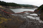
The reservoir at the Skookumchuck Dam is far below maximum pool height, a good level as the rainy season approaches, although this dam is not built for, nor operated with the intention of, flood control.

The reservoir formed by Skookumchuck Dam stretches upstream from the earthen structure east of Bucoda.


The rain held off just long enough Thursday for members of the Chehalis River Basin Flood Authority to take a cold but dry guided tour around the Skookumchuck Dam before their regular meeting Thursday.
“I expected it to be real industrial looking,” Flood Authority Chairwoman Vickie Raines said of the tour. “It’s actually a pretty majestic area up there.”
The Flood Authority is considering the construction of a water retention dam north of Pe Ell in the upper Chehalis basin as one of several hundred projects it is tasked with providing to the governor and the Legislature in 2012.
Owned by TransAlta USA, the 1970s-era dam was not built as a flood control dam — although it does retain storm water if storage is available in its 35,000 acre-foot reservoir — but to store water flowing from a 50-square-mile watershed for use by TransAlta’s coal-fired power plant six miles to the southeast. Its single power turbine, installed in 1987, can generate a maximum of 1 megawatt of electricity.
The reservoir level of the run-of-the-river dam that is subject to seasonal water flow was 50 feet below the spillway Thursday. Dark clouds overhead threatened to add to the reservoir that has never failed to fill up during Senior Plant Engineer Tom Emrich’s 20-year career at the dam. And once it’s full, it’s full, according to Emrich.
“There’s limited means of allowing water to be released,” Emrich said. “The dam was never designed for flooding; it was only for water impoundment.”
There are only two means for operators to release water from the dam under controlled conditions: through the turbine or through two cone dispersion valves that release water indirectly into the Skookumchuck for fish migration. At full tilt, that combined maximum water release is 600 cubic feet per second.
If a storm event fills the reservoir and water starts flowing over the spillway, there isn’t anything dam operators can do to stop it, hence the term “run-of-the-river.” The spillway is designed to handle a whopping 32,500 cfs, but the most that has been recorded is 9,000 cfs, according to Process Systems Manager Larry Webster. The reservoir level falls below the top of the spillway anywhere between April and June.
Engineers are also tasked with maintaining a minimum 95 cfs in the river below the dam. In the fall that rises to 140 cfs when Chinooks are running.
The Army Corps of Engineers announced in September that estimates for upgrades to the Skookumchuck Dam, considered by some to be key to flood control and the Corps Twin Cities Levee Project, had come in five times higher than the original $10 million estimate. The upgrades were later dropped from consideration. The Twin Cities Levee Project study was later terminated completely after the Corps’ most recent cost-benefit analysis demonstrated the cost of building levees to a 100-year flood level exceeded the benefit of doing so. That study is currently being closed by the Corps.
The water retention dam at Pe Ell is currently envisioned to be between 240 feet high for a dam meant strictly for water retention, and 290 feet for a multipurpose dam that would provide flood water storage, stream flow augmentation and hydroelectric capability. The cost of the dam ranges between $93 million and $148.5 million, according to current estimates.
Flood Authority member and Grays Harbor County Commissioner Terry Willis said she found the tour very informative. She noted that adjustments to the height of the dam had been a component of basin flood mitigation.
“It’s been in the conversation since day one,” Willis said. “Anytime you can get out and kick the dirt and actually look ... it’s extremely helpful when making decisions about issues.”
The Flood Authority previously toured the lower Chehalis River near Montesano, and the upper basin between the Pe Ell dam site and the Twin Cities. The group plans to tour the Aberdeen-Cosmopolis area during their next meeting on Dec. 15 in Grays Harbor County.
•••
Lee Hughes: (360) 807-8239


