.jpeg)


.jpeg)


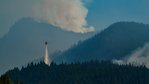

The evacuation levels for the Goat Rocks Fire have changed.
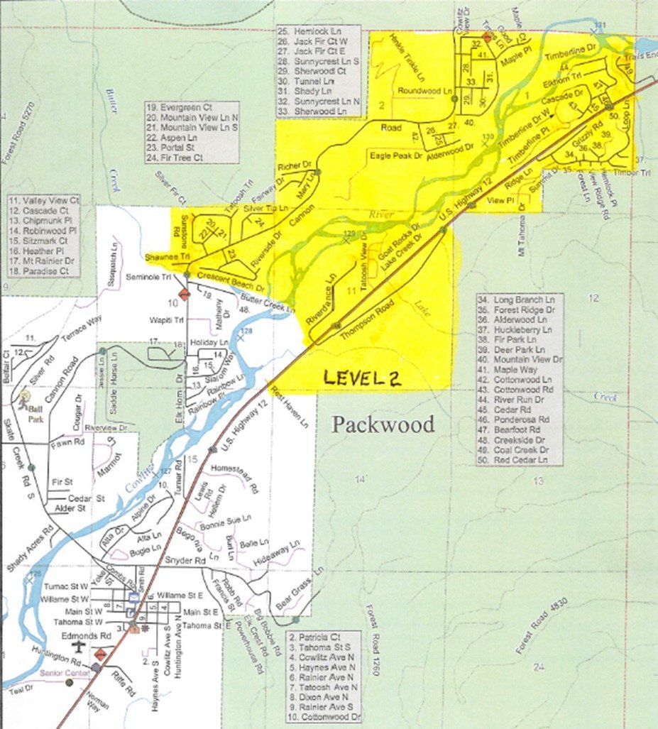
All areas north of Butter Creek are at level two (be set) evacuation, according to Lewis County Emergency Management.
That includes Upper and Lower Timberline, Goat Rocks and River Dance neighborhoods.
“This is a precautionary level change due to the Red Flag warning and Goat Rocks wildfire behavior,” Lewis County Emergency Management stated in a social media post. “All other areas including Packwood communities, High Valley and Packwood proper are not under evacuation status at this time.”
For all current fire updates visit: https://inciweb.nwcg.gov/incident/8415/
For more information, email 2022.goatrocks@firenet.gov or call 360-370-4168.
Here's the latest update from the U.S. Forest Service:
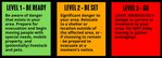
NEW EVACUATION LEVELS: LEVEL 2 – BE SET! The evacuation levels for Goat Rocks Fire have changed: All areas north of Butter Creek are at Level 2* (Be Set) evacuation. This includes Upper and Lower Timberline, Goat Rocks, River Dance, and parts of High Valley. This is a precautionary level change due to the Red Flag warning and Goat Rocks wildfire behavior. Packwood proper is not under evacuation status at this time. See accompanying Public Information map.
Monitor https://bit.ly/LewisCountyAlerts or https://bit.ly/LewisCountyEMFB for changes.
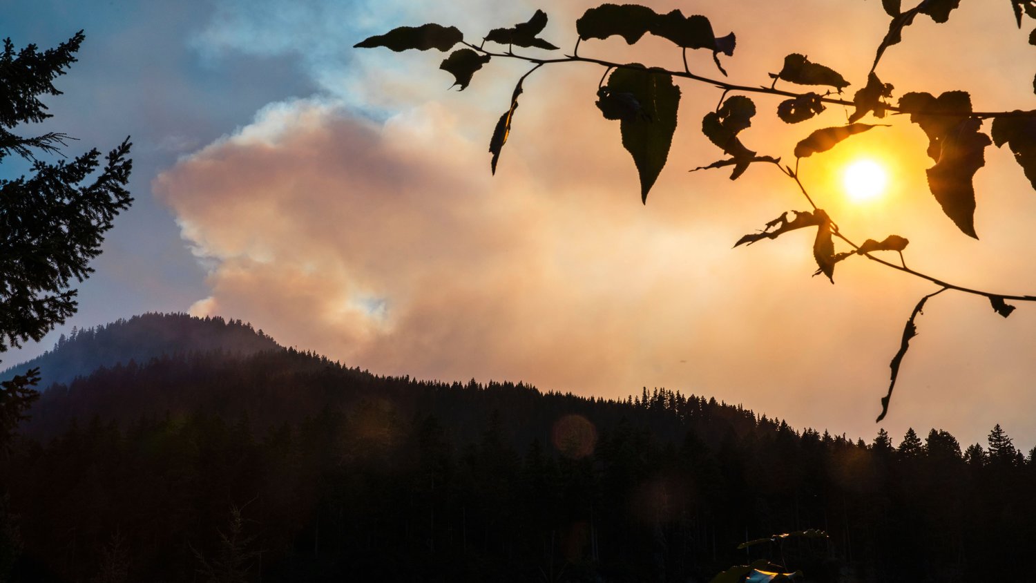
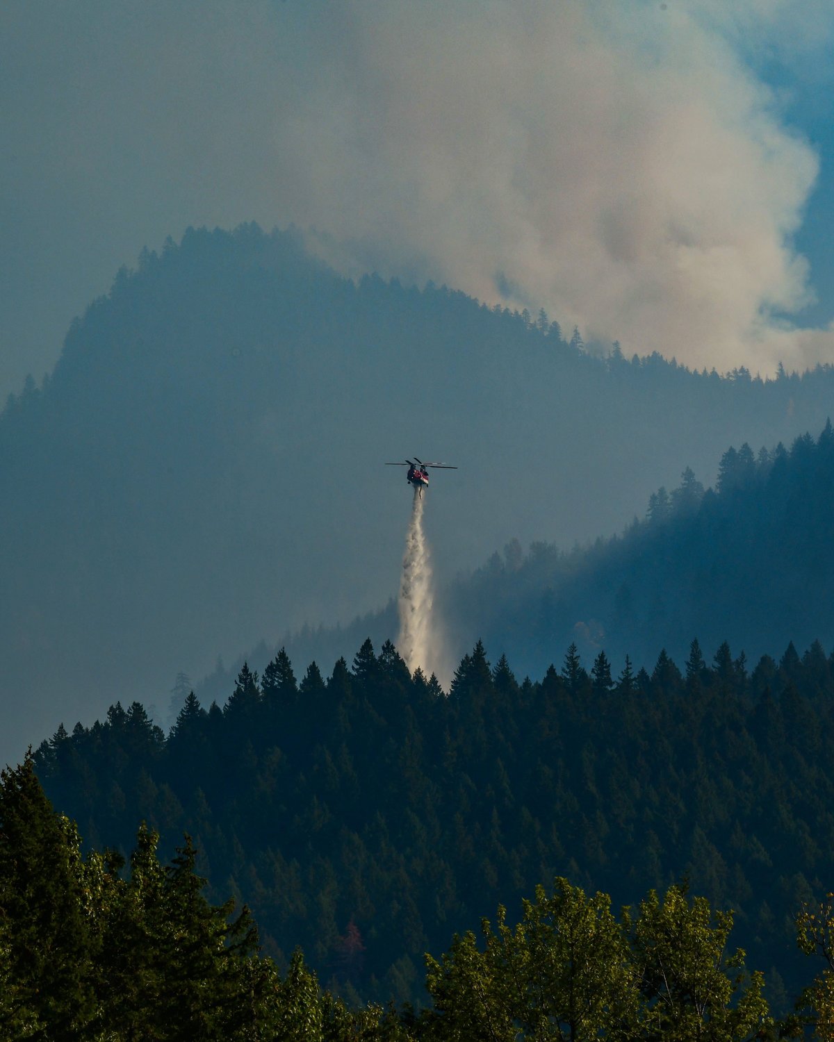
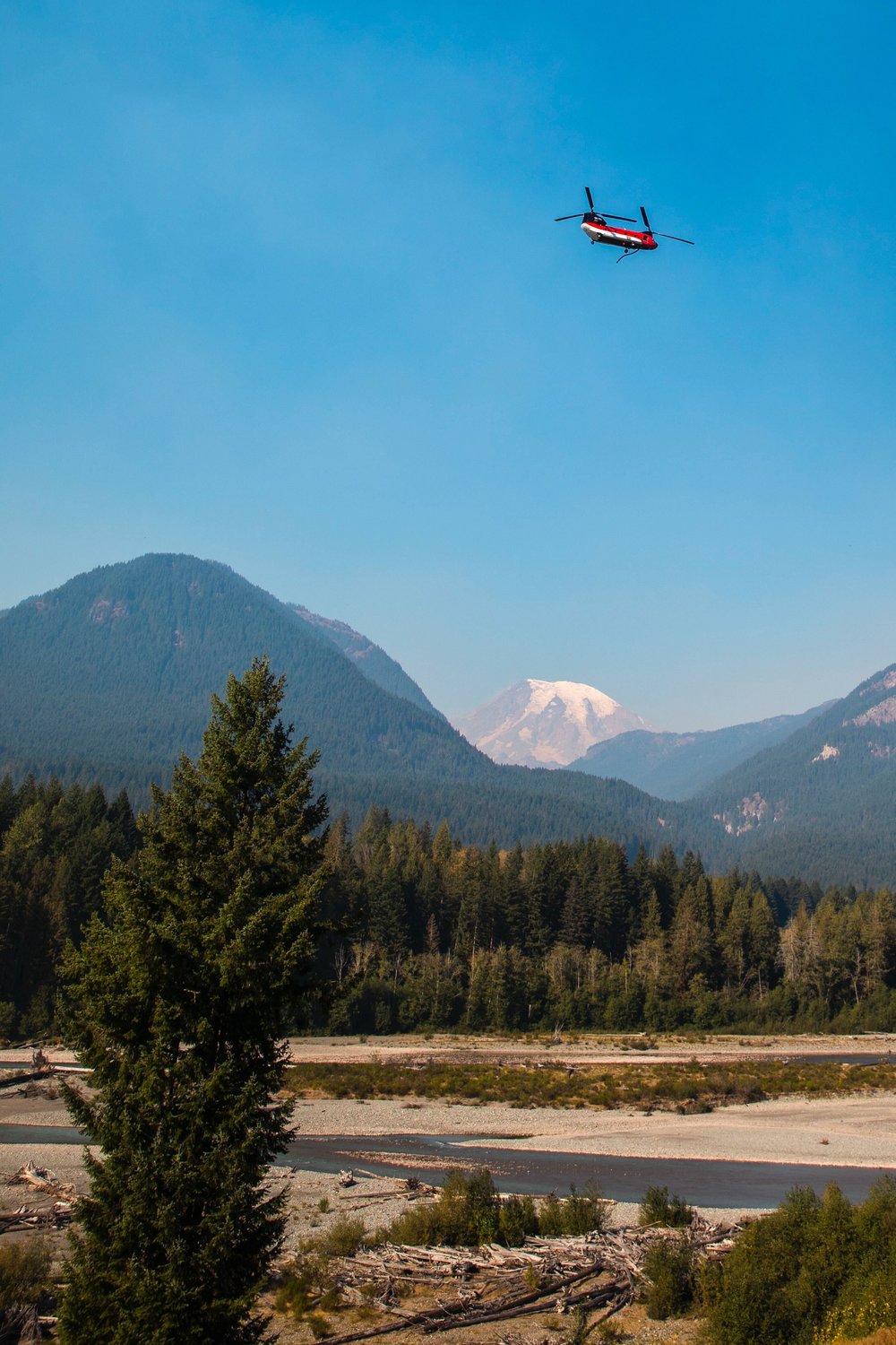
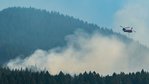
Yesterday: A combination of higher wind speeds and lower relative humidity increased fire activity during the day and overnight. Fire did cross the ridge over the Three Peaks Trail system; however, overall fire growth was minimal. There was also some increased fire activity at the northern-most edge of the fire, in Division W. Fire activity on the western edge of the fire increased as well, near the Divisions A/W break. Helicopters performed multiple water drops to cool the fire’s edge in this area. Crews, engines, and a bulldozer all responded to that activity.
Today: Fire activity in the western portion of the fire (the area closest to communities) increased this morning. Numerous firefighters, engines, and a bulldozer held the control line well.
The increased fire activity in the Three Peaks ridge area led to the change in evacuation levels this morning. Some fire has crossed to the west side of the ridge so smoke and fire might be visible. This area of the fire is in very steep wilderness and is difficult to access. Hand crews are working in the area and helicopters continue numerous water drops over this area today.
Active fire behavior is expected again today due to weather conditions. Residents and guests may continue to see fire, including short runs if winds and terrain align. Additional resources are en route.
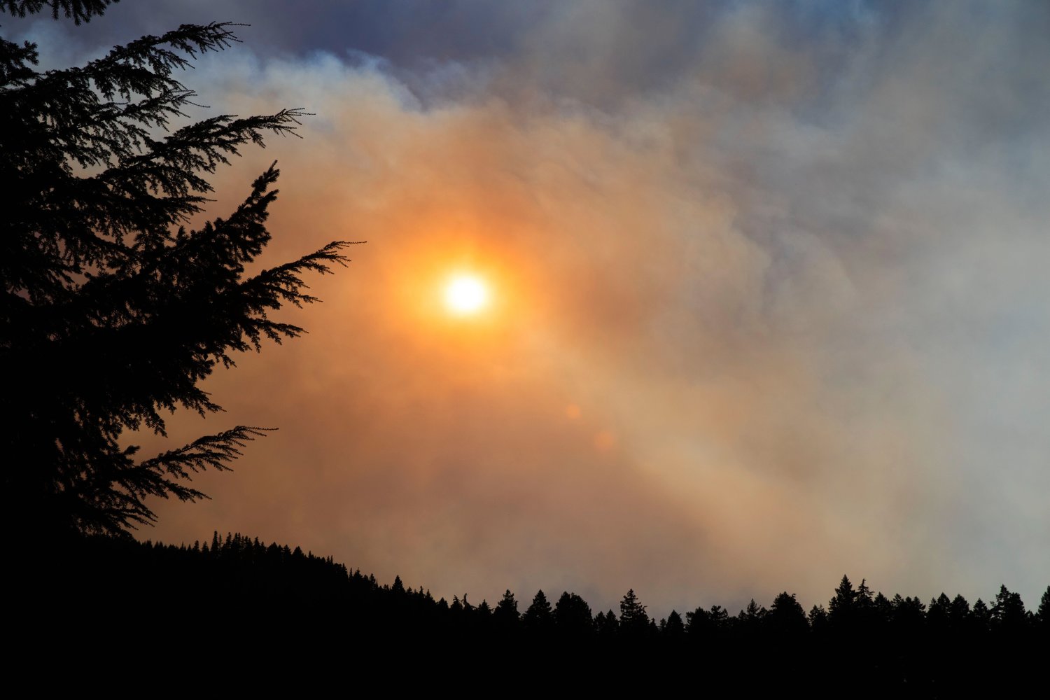
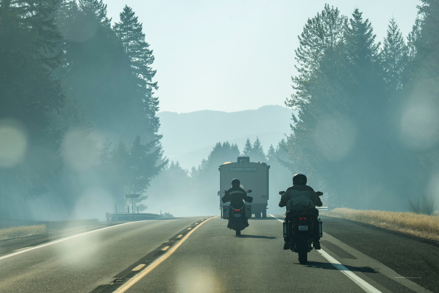
Weather: The Red Flag Warning issued by the Weather Service remains in effect until 5 pm today. Overnight humidity recovery was poor, and today will be dry as well. Minimum relative humidity will be in the low-to-mid 20s. High temperatures will be in the 70s. Winds will be strongest in the morning with gusts to around 25 mph possible. Wind speed is expected to decrease this evening. Dry conditions continue this week; however, a cold front is expected to move in by next weekend. Increased smoke will continue given the increase in fire activity.
Forest Closures: A road and trail closure within the Gifford National Forest is in place. Closure order: https://bit.ly/GoatRocksClosureOrder Closure map: https://bit.ly/GoatRocksFireClosureMap
What does “Level 2” mean?
Level 2 (Be Set) mean that residents in that area should be ready to leave at a moment’s notice by having your important personal items packed and ready in your vehicle. If you have difficulties evacuating, leave now. For additional evacuation information or to receive alerts from Lewis County in the case of an emergency, sign up at https://bit.ly/LewisCountyAlerts. Please note that enrollment in these alerts is not always immediate.


