
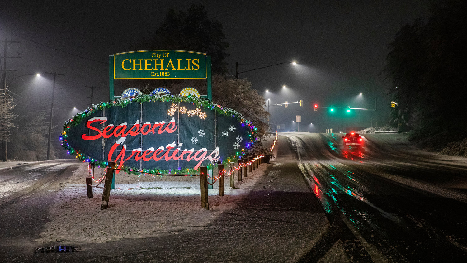

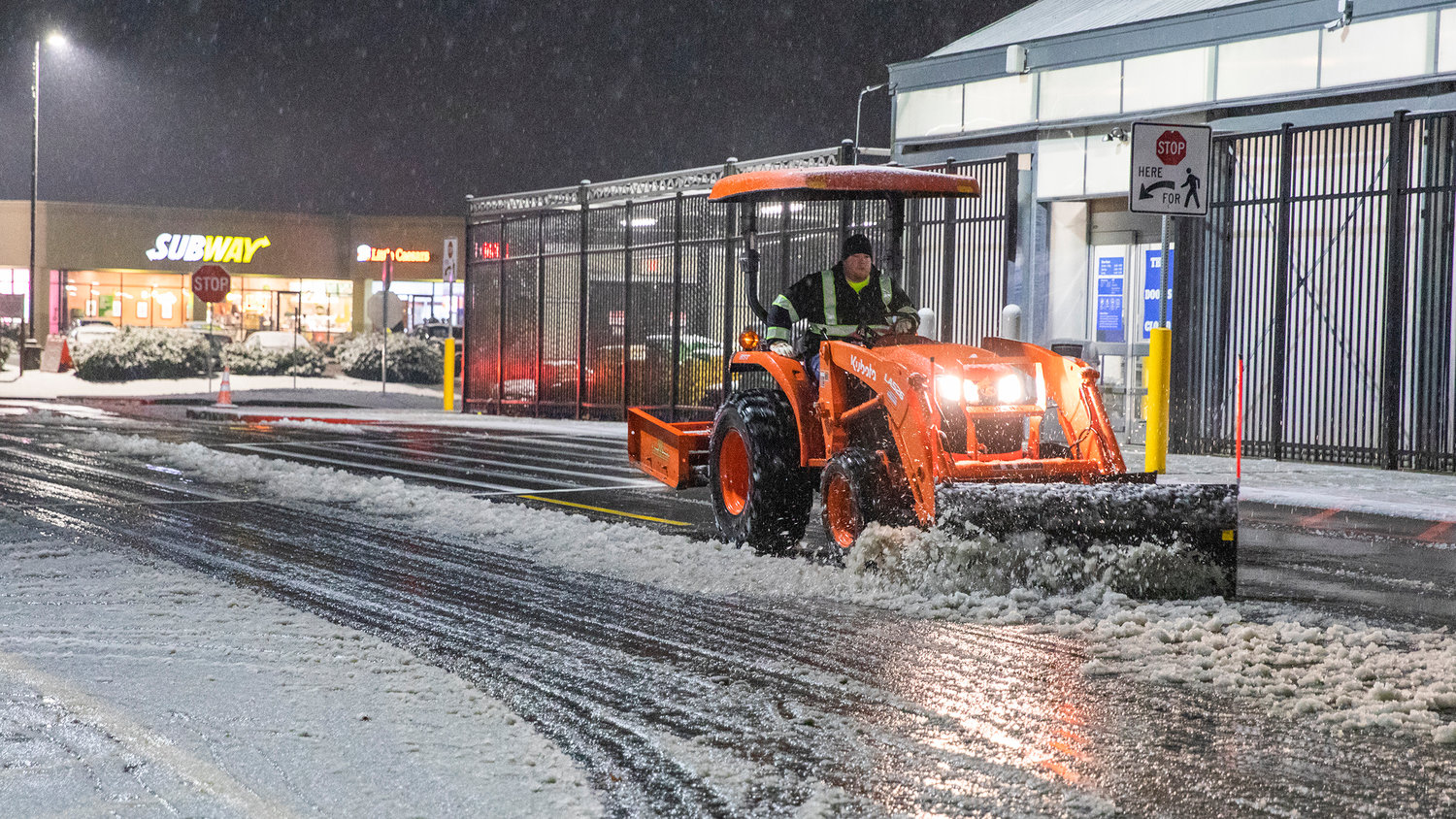
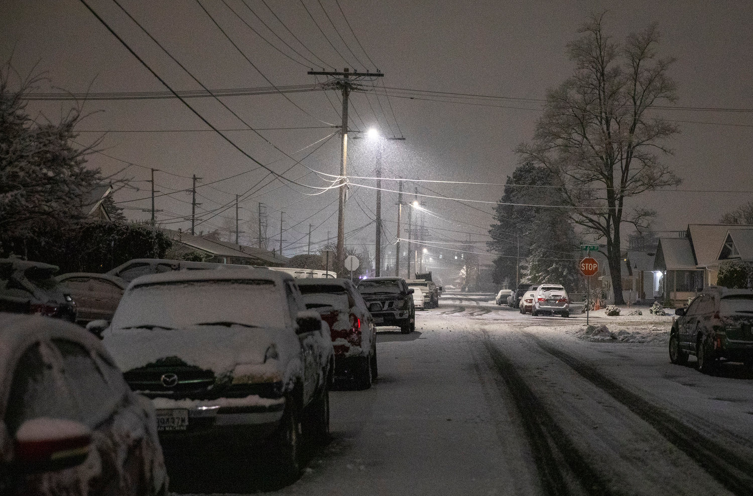
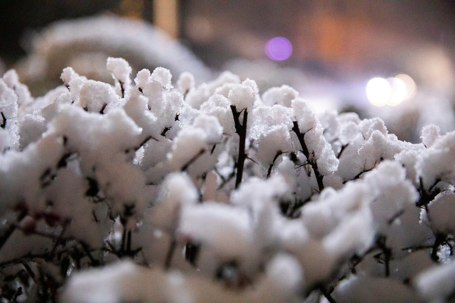


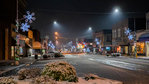

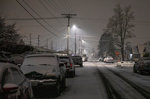
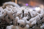
Flurries in the Twin Cities starting Sunday afternoon coated the towns in snow that quickly turned to slush early Monday morning.
National Weather Service meteorologist Mike McFarland reported Monday was forecast to be mostly dry. A wetter front was forecast for later in the week, he said.
“As we get into Tuesday and Wednesday just a little light rain and a few inches up in the mountains,” McFarland said, later adding, “(The) next real front will be Wednesday and Thursday … (with) heavy mountain snow around daybreak.”
Asked if there was an increased flood risk for Lewis County rivers due to melting snow, McFarland was incredulous that the downtown areas of the Twin Cities would have seen enough snow to draw such concern.
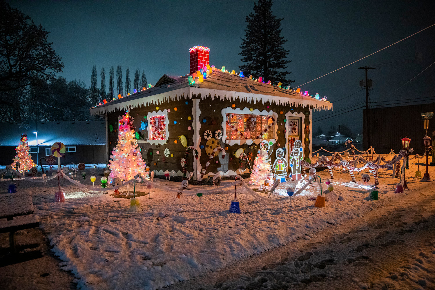
“I don’t think you have a lot of melting snow. … Certainly not a winter wonderland,” he said, later adding, “That’s nothing. You certainly don’t need to be concerned about flooding.”
Into the weekend, McFarland said forecasters expect a fairly cool pattern and more snow in the mountains. The Cascades should see snow all the way into California, which he called good because of the state’s recent drought.
In a Facebook post Friday, Lewis County Emergency Management wrote that residents should take down inflatable Christmas decorations during windy, snowy weather.
“(This) week is expected to be a bit warmer than this (last) week, but not a lot. Temperatures still will be below normal, with potential for refreezing occurring over night. Stay safe out there Lewis County!” stated the post.


