Mike Painter uses a small broom to clear a walk-way from his front door to his car on Silver Street in Centralia Wednesday morning.
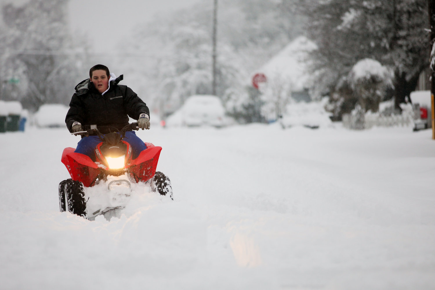
Skyler Knapp, 14, rides his TRX 250X four wheeler through the snow in downtown Centralia Wednesday morning.

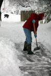
Daniel Thieme, right, and a neighbor down the street clear out the sidewalks in front of their homes in Centralia Wednesday morning.


As predicted, a severe winter storm blanketed Lewis County and the rest of Southwest Washington with piles of snow that might amount to record levels before warmer weather arrives Friday, according to the National Weather Service in Seattle.
Brent Bower, a meteorologist and hydrologist for the NWS, told The Chronicle Wednesday morning that up to 15 inches of snow had been reported in the lowlands of Lewis County and elsewhere around the Interstate 5 corridor.
The record amount of snowfall for Centralia felld on Jan. 13, 1950, when 12 inches were reported. Bower said the current storm won't be an official record until snow levels are fully reported.
Though the epicenter of the storm is difficult to pinpoint, Bower said Centralia, Chehalis and areas near and south of Olympia seem to be bearing the brunt of the storm. Seattle residents were reporting between 2 and 6 inches of snow Wednesday morning.
"It's been snowing all the way up to Skagit County but the rate drops dramatically through Pierce, north of Pierce County and above," Bower said.
It doesn't appear the snowfall is over either.
Bower said snow will likely continue throughout Wednesday morning before the possibility of rain and freezing rain arrives later in the day. Even then, Bower said snow could persist in some areas and that there could be more accumulation in the lowlands of Lewis County.
"Even on Thursday, there could be some snow, rain and a mix, maybe a little accumulation," Bower said. "But nothing like today.
"It's going to be a slow transition to full rain, which will happen on Friday."
Temperatures in Centralia and Chehalis are expected to reach the mid-40s Friday, creating a possible risk of moderate flooding, according to the National Weather Service.
Bower said that river models are being analyzed and that the public will be notified of any potential threats.
"Right now, it depends partly on how much snow you get in the lowlands," Bower said. "And it's looking wetter than in previous forecasts. If there is a lot of sow, a lot of water content, and it stays there because it hasn't melted, then it will all be sitting there when Friday comes."
For specific forecasts, visit the website of the National Weather Service's Seattle office at www.wrh.noaa.gov/sew/


