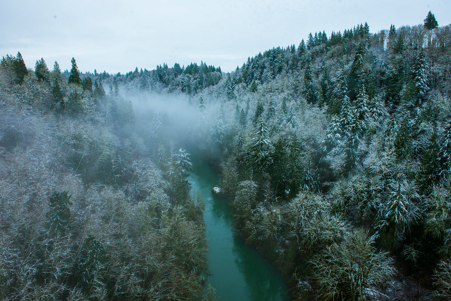
The Cowlitz river runs through snow covered trees and foliage on a foggy Monday morning.
Puget Sound residents will soon see a familiar sight -- rain -- as temperatures warm going into the weekend and snowfall stays in the mountains, according to the National Weather Service.
"We're transitioning out of the concerning weather and into just our winter weather," said meteorologist Dana Felton with the weather service in Seattle. "The snow threat should be taken care of."
Precipitation through the weekend will mostly come down as rain, although some areas to the north of Seattle and on the Kitsap and Olympic peninsulas may see a mix of rain and snow through Thursday, according to the weather service. Some higher-elevation spots in the Seattle area may also see a few flakes from Thursday afternoon into Friday, but it won't be much, according to the weather service.
"For most of us, we're probably not going to see any more snow here for the next couple of days," Felton said.
Want weather updates via text message?
Text the word WEATHER to 855-480-9667 or enter your phone number below.
Temperatures around Seattle are expected to climb into the low 40s Thursday, then dip overnight before returning to a high of 40 Friday, according to the weather service. From there, temps are expected to be in the high 30s and low 40s overnight, with daytime temps in the mid- to high 40s.
There may be some flooding from the warm-up, but the flood threat was low for most Puget Sound rivers as of Wednesday night. The weather service will be evaluating flood risk into the weekend.
Showers will be hit-and-miss Thursday afternoon through Friday afternoon, before another system moves into the area Friday evening and brings widespread rain to the region. There will be some gusty winds, but nothing as strong as Wednesday, according to the weather service.
The wind knocked out power Wednesday to residents in places like North Bend, which saw gusts up to 50 mph in the afternoon. A high-wind warning was in effect for the East Puget Sound lowlands into Wednesday night, with an increased risk of tree damage, blowing snow and power outages. Meanwhile, Seattle was breezy but not dangerously windy.
While Seattle Public Schools is resuming normal schedules and bus routes Thursday, some other districts have delayed classes, including Arlington and Marysville.
Some areas may still be dealing with other effects of earlier snow. The Olympic Peninsula was hit especially hard, as Port Angeles received 18-22 inches Tuesday night.
Skykomish School District announced classes would be canceled Thursday, as it continues to be affected by the Highway 2 closure and power outages, according to FlashAlert.net, which tracks most schools and districts in the region. Highway 2 remains closed between Skykomish and Stevens Pass but was reopened for locals Wednesday from Gold Bar to Skykomish -- as long as conditions don't change.
Seattle Public Utilities will resume residential collection of waste, but said pickup will be delayed for one day the rest of the week. Waste Management, which serves areas including Kitsap, Snohomish and Skagit counties and parts of King County, has postponed or canceled residential-waste pickup for some customers. For updates in your service area, see wmnorthwest.com.


