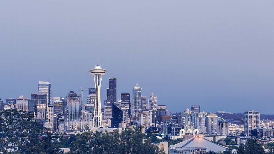
With an average high temperature of 69.4 degrees, the first week of July was Seattle's coldest in nearly two decades, disappointing sun lovers who had been clinging to the adage that summer here begins July 5.
Not since 2002, when the first week of July registered an average high temperature of 68.6 degrees, has the weather stayed so cool at this point in the season.
"It was indeed a cool start to July, certainly compared to recent years. But it's not unheard of," said Dustin Guy, a meteorologist with the National Weather Service in Seattle.
We can blame the lack of summer sizzle on "a very persistent area of low pressure off the coast for weeks sending (wet and cool) weather systems our way," Guy said.
The trend is expected to continue Thursday, when the weather service predicts clouds, some rain showers and temperatures topping out near 70 degrees.
"It should warm up tomorrow, the sun should come back out," Guy said, "and that could persist Saturday," when temperatures could reach the mid-70s.
That should feel more typical, because 75 degrees is Seattle's normal high for this time of year.
"Then we may have another system coming in Sunday," carrying a greater chance for rain, the meteorologist added.
As for that old saying among longtime Seattle residents, that the sun tends to show up after July 4? Guy said the holiday isn't quite when the summer weather usually arrives.
"I've heard that a lot, but in the more than 20 years I've lived here, we look at July 12 (as) the transition more than July 4," he said.
That transition could happen later this year.
"There's still time for summer to make a comeback," Guy said. "There are signs the current pattern could change a week or 10 days from now."
In the meantime, he said, "we're stuck with this for a while."


