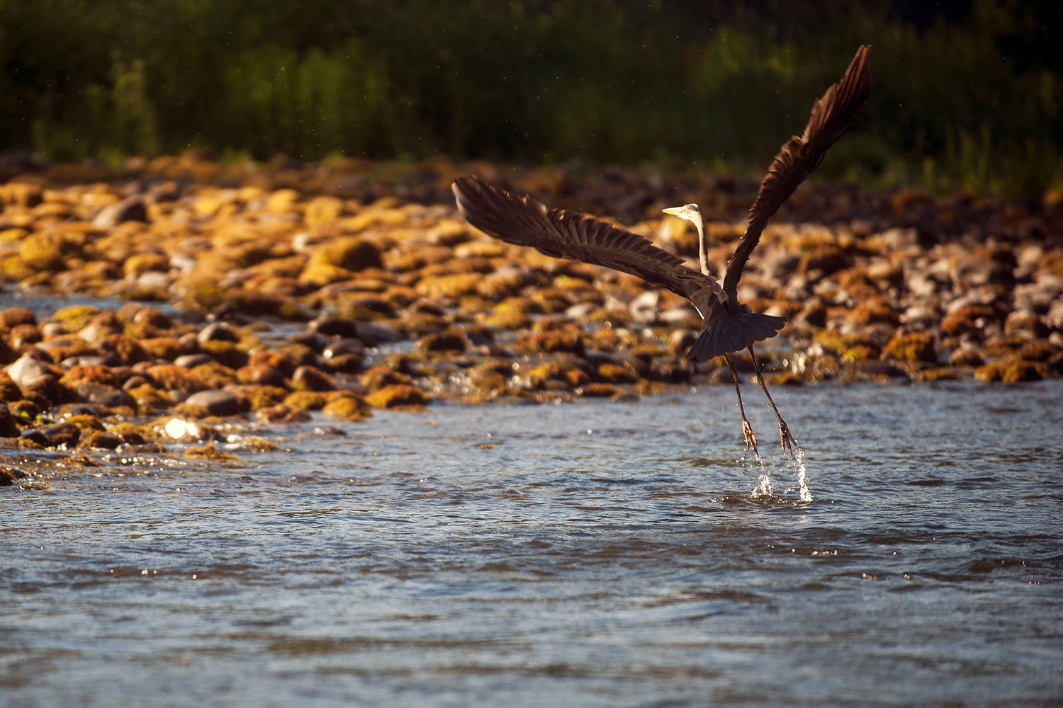
A Great Blue Heron takes off from the Cowlitz River on the morning of Monday, June 15, 2015.
A survey to assess Cowlitz River flood risk is planned for September, with local agencies footing the $110,000 bill. However, communities along the river will have to go through another winter without knowing how vulnerable to flooding they may be until the survey results are released in February or March.
Cowlitz County commissioners Tuesday approved an agreement to pay for the U.S. Army Corps of Engineers to survey the channel for the first time in four years.
The flood protection levels will be updated by February or March.
The survey is intended to determine whether silt and gravel from Mount St. Helens is clogging the river channel and boosting flooding chances. As sand and gravel bars have been appearing in the river, county officials have been pressing the corps to assess the flood risk.
Axel Swanson, county chief of staff, said Tuesday's agreement is "bittersweet" because the county is paying for a study even though the corps is mandated by 1985 federal law to maintain flood protection levels along the river. Neither the Congress nor the Trump administration paid for the survey this year, despite the county and federal officials pressing for urgent action.
"It's hard to pay, but it's the right thing to do for the citizens and public safety," he said.
The money will come from the county's general fund reserves, Swanson said. County staff is crafting an agreement with the City of Castle Rock; the Longview, Kelso and Lexington diking districts; and the Port of Longview to help share for the survey.
Patrick Harbison, county utilities manager, said the seven entities (including the county) will divide the $110,000 cost equally, paying about $15,700 each. The diking districts, port and city's governing boards will likely approve the agreement in the next two months before the it returns to the county commissioners for final approval, he said.
The survey takes a number of cross-section readings of channel depth and width. Hydrologists then calculates how much water can flow through the river before a flood starts.
The Cowlitz requires monitoring more often than the average river because its riverbed is constantly changing due to the flow of Mount St. Helens debris from the Toutle River.
When last checked in 2015, the flood protection levels in Castle Rock, Lexington, Kelso and Longview were all within standards set by Congress. Based on corps predictions, Kelso and Longview levees show downward trends but should maintain flood protection levels until 2035, according to the corps. However, Castle Rock and Lexington levees are predicted to fall below flood protection levels in the near future, it says.
Earlier this month Kerry Solan, chief of public affairs for the Corps' Portland district, said if the survey finds flood protection levels are no longer being met, the corps will have to decide at that time what action to take. That decision may depend on available funding, she said.
In the meantime, Swanson said the county is working with the corps to put together a plan for dredging, including lining up locations for dredge spoils so if dredging is necessary, the corps can do it as quickly as possible. The need to protect endangered salmon runs would limit when dredging can take place on the Cowlitz.
Although the corps is responsible for the work, under an agreement with the state the county must acquire property for disposal of dredge spoils, he said.
The Cowlitz-Wahkiakum Council of Governments is taking the lead on creating a local long term plan, Swanson said. Commissioner Dennis Weber, who also sits on the COG board, said the corps is continuing to push Congress to reauthorized funds for the Mount St. Helens project.
"We hope this data is a bit of a wake up call to folks in Washington (D.C.) that the problem continues to be a real threat to us," he said.
The corps is also working on securing funding for the long-term sediment management plan completed last fall to address the flow of silt out from the Toutle Valley. The river survey will help determine the next steps of the project.
The plan calls for raising the sediment dam another 23 feet, building other silt-retaining structures upstream of the dam and dredging the Cowlitz as necessary. If all the work becomes necessary, it would cost about $253 million, with an average annual cost of $13 million to $16 million.
The plan also calls for $19.8 million in improvements to fish conservation efforts, including modifying the existing fish collection facility near the junction of the Green River and North Fork of the Toutle River and establishing a new fish release site.


