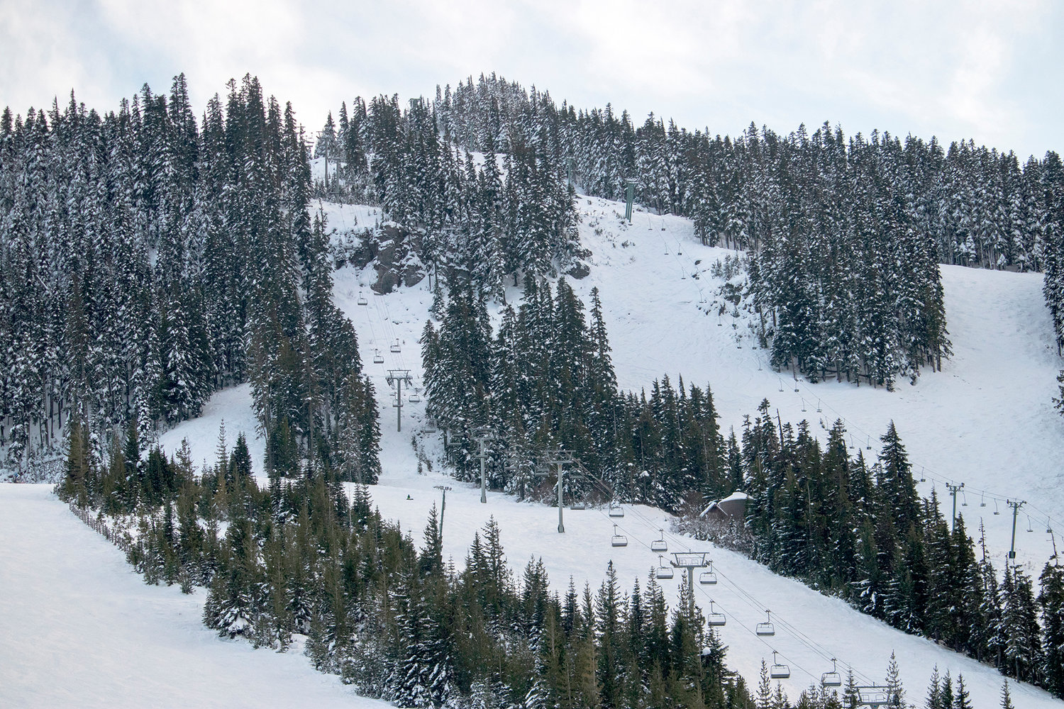
A ski lift is seen surrounded by snow last year at the White Pass Ski Area.
A winter storm watch in effect starting late Monday means there could be up to three feet of snow in the mountains and passes through late Tuesday night.
Heavy snow is possible above 2,500 feet, which includes the Mount Baker Ski Area, Stevens Pass, Snoqualmie Pass, the Crystal Mountain Ski Area, Paradise on Mount Rainier and White Pass.
Travel could prove very difficult as snow accumulates in the passes.
If you’re not in the mountains, expect passing showers and a few sun breaks on Monday. Isolated thunderstorms can’t be ruled out.
A big, sloppy system is rolling in on Tuesday, bringing lots of rain and wind gusts, along with mountain snow.
Wednesday has some dry periods before another wet and gusty system comes in.
Thursday and Friday will be wet, gusty and with more mountain snow.
Saturday looks reasonably dry, but Sunday looks like another wet day.
Lows will be near 40 all week long.


