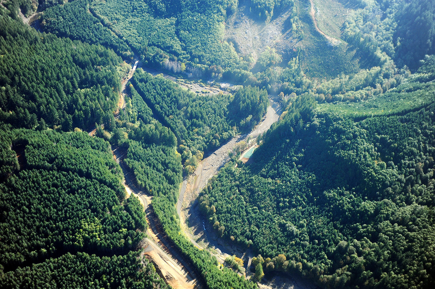
In this aerial file photo taken on Oct. 9, 2009, a planned site for a potential dam outside of Pe Ell is seen.
A recent report released by the Washington Department of Natural Resources said Lewis County has raised some questions about how much of the county’s aggregate rock a proposed dam in the Pe Ell area would use.
But officials involved with the report and the dam project say it would likely be built out of a different material.
In the report titled, Rock Aggregate Resource Inventory Map of Lewis County, Washington, the DNR mapped the county’s inventory of the aggregate rock — the sand and gravel and crushed stone that is typically used in cement, asphalt or graded fill.
The intended audience is county planners and local officials who are refining comprehensive plans and zoning, transportation departments and industry leaders. Although Lewis County has a maximum possible amount of sand and gravel estimated at 2.35 billion tons, only 60.6 million tons are currently permitted. The report says if only the permitted amounts of sand and gravel are consumed they’ll expire in 2024. The bedrock alone would last until 2049.
The supply of currently permitted sand, gravel and bedrock should last until 2060. However, the report lists a proposed dam to control flooding and possibly protect fish habitat on the Chehalis River at Pe Ell would deplete nearly all of the sand and gravel in the county if it were built using sand and gravel. However, officials involved with the proposed dam say that statement is a bit misleading.
“The bottom line is the statement in the report is not correct insofar as the dam isn’t proposing to use sand and gravel resources,” said Bob Montgomery, principal engineer with Anchor QEA, an environmental engineering and consulting firm.
Including the dam, the report gave other reasons the county could run out of sand and gravel before then. They included Interstate 5 maintenance, and the possibility materials could be unrecoverable because of environmental issues or economic costs.
While examining the possibility of constructing a dam, engineers considered a variety of materials to build it. One of the options considered was sand and gravel, but Montgomery said it was ruled out because it would be the most expensive option of them all. If anything, it was a fallback option, he said.
“What we’ve pretty much confirmed is that we wouldn’t use the sand and gravel because of costs. We’d be using basalt,” Montgomery said.
The closest sand and gravel deposits to the dam are just north of Centralia. However, there are large deposits of basalt in four different areas close to the proposed dam that could be excavated.
“Basalt is ubiquitous in that area and there’s nobody around there, you’d never run out,” Montgomery said. “They weren’t looking at the whole other source of material, which is probably almost limitless.”
Dave Norman, a geologist and manager of geology and Earth division of the DNR, said the information could be mischaracterized. He said he is aware the dam would likely be built with basalt or other crushed rock. The line in the report was highlighting what would happen if it were built out of sand and gravel.
“This map was intended as a planning tool. … It’s a planning document for the long-term future of the county to maintain roads. It wasn’t done with thinking much about the dam,” he said. “The dam is a variable and there’s ways around it for rock resources to meet the need for building it.”


