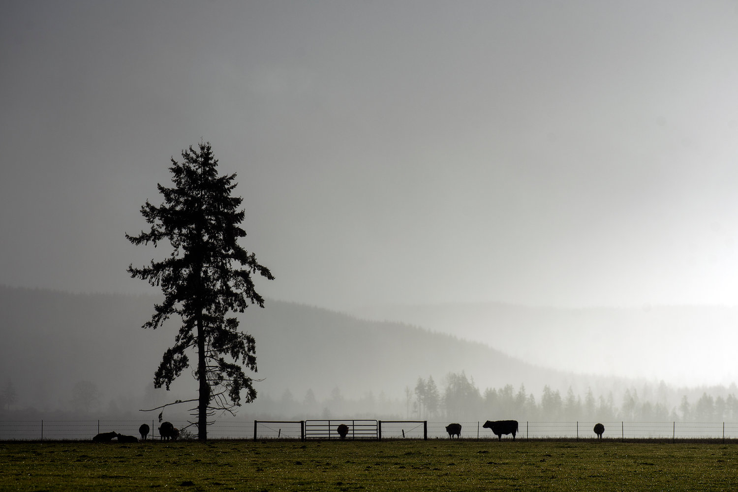
Cattle stand in a field as rain falls to the south while the sun pops out of the clouds in the west in February 2017 in Salkum.
Autumn will officially begin later this week, but the region’s notorious seasonal rains arrived a few days early when the skies opened up for a spell on Sunday and Monday.
According to the National Weather Service, Centralia received roughly one quarter of an inch of rain between Sunday morning and Monday morning, which buffered a few smaller bouts of rain that fell in the middle of last week. The Chehalis-Centralia Airport picked up about .44 inches of rain from Monday morning through Tuesday morning, and most low-lying population centers averaged about a half inch of rainfall during that same period. The Willapa Hills received the most generous helping of precipitation yesterday and overnight with as much as 1.5 inches of rain falling in some areas.
After a particularly dry summer that included nearly two straight months without measurable precipitation and a ravenous wildfire season that hit both sides of the Cascade mountains, the precipitation was a welcome sight for many Washingtonians as well as firefighting personnel and land management agencies.
According to National Weather Service meteorologist Art Gaebel, the sudden change in weather may seem like a godsend, but it is nothing to be mystified over.
“It’s called fall time. Seasons change,” said Gaebel.
In addition to signaling the inevitable end of summer, the arrival of significant rainfall also served to scrub the skies clean of lingering wildfire smoke that has turned skies orange and plagued sensitive lungs since mid-August.
“The reason for the smoke is that the winds were blowing from the east to the west and bringing it over the mountains,” said Gaebel. “With the system that we’ve had since Sunday and with the showers we’re going to have through Wednesday, I think the smoke is history. You’re not going to see that again. And of course the rain helps with the fires.”
Gaebel says Lewis County residents near the I-5 corridor can expect intermittent showers through Wednesday with the surrounding highlands receiving slightly greater amounts of rainfall. However, Gaebel says the forecast calls for another dry period beginning Friday and extending at least through the weekend.
Gaebel noted that the first accumulation of snow was reported in the Cascade Mountains Sunday night at elevations above 5,000 feet. He said that the Paradise area of Mount Rainier picked up around 5 inches of snow and Snoqualmie Pass also had spot accumulations. Other reports noted snow on the Olympic Mountains and Stevens Pass.
Gaebel says that the first snowflakes of the fall season have a special way of piquing the public’s interest about the outlook for the upcoming winter season, but there’s plenty of uncertainty this early.
“That’s always the question this time of year,” said Gaebel.
He noted that extended forecast modeling indicates the region is in store for average winter temperatures and precipitation, but he added, “That could change of course as we go along.”


