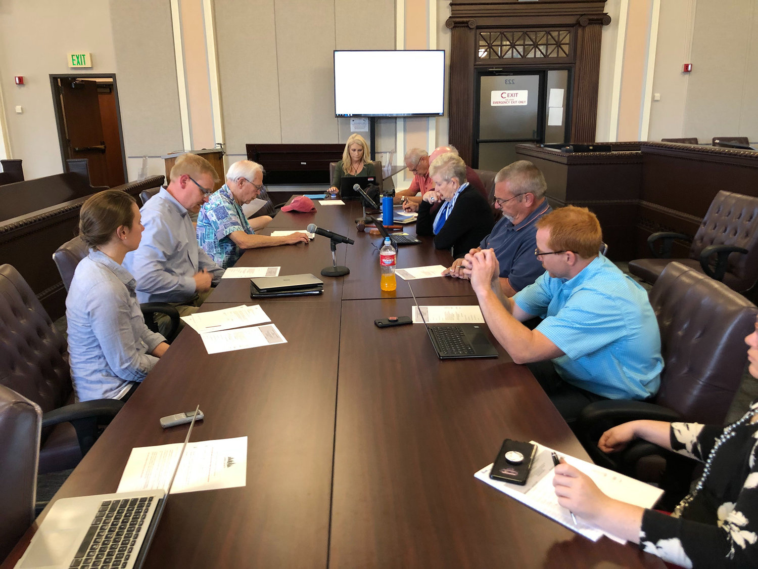
Leaders of the Cowlitz River Basin Flood Control Zone District discuss plans to work on removing Packwood's floodplain designation during a meeting Wednesday afternoon.
Lewis County’s efforts to remove Packwood’s floodplain designation are nearing a tangible stage, as officials begin looking for a partner to take on the survey work that will make up the project.
“We’ve been talking about it for so very long,” said county manager Erik Martin. “We’re very excited.”
The project is funded by $637,000 provided in the state’s capital budget, enabling the county to pursue the study it has long hailed as a crucial step. Packwood is currently designated as part of the 100-year floodplain by the Federal Emergency Management Agency, which adds onerous costs and requirements for those looking to build and develop in the area.
“The FEMA mapping right now shows a good portion of downtown Packwood in the floodplain, although it does not flood,” Martin said. “We’d like to undertake a scientific study to show FEMA that their maps need to be revised.”
The county has pushed for the study for some time, and it praised the state funding as a huge step forward. Now, officials have gotten guidance from the state on how to receive the funding, and they’re getting ready to put the dollars to work.
Currently, the county is working with the consulting firm Perteet to draft a request for qualifications, which will be advertised for companies to bid if they believe they can complete the necessary work. Perteet is expected to be among the bidders, but officials said their role in drafting the RFQ will not give them preferential treatment in the selection process.
Public Works director Josh Metcalf said the county expects to have a draft document in hand next month, with a consultant selected to take on the work by the end of summer. Once a partner begins the work, Martin said it could take some time to complete the study. The county’s expectations for a timeline will be included in the RFQ.
“The technical work will take at least six months, maybe longer, depending on what studies they need to do in what kind of weather,” he said.
Once the study is complete, it will go to FEMA for review, a process that will include public comment.
“I’ve heard it can be quick, and I’ve heard it can take awhile,” Metcalf said.
Christina Wollman, a planner with Perteet, said crafting the RFQ for firms to respond to is a relatively straightforward process.
“It will be a hydraulic analysis of the area around Packwood,” she said. “We don’t know the boundaries yet. That’s pretty much the county’s decision. It’s a pretty standard process, where you collect some survey data, ground elevations, potentially new (light detection and ranging) data so the hydraulic engineers can run a new model and define where the 100-year floodplain should be with new information.”
If the survey shows what county leaders expect it to — proving that Packwood does not flood — it will enable FEMA to remove the floodplain designation and drastically lower the cost of building new housing and businesses in town.
If that shift is achieved, said county commissioner Gary Stamper, he hopes the county will be able to consider rezoning Packwood from a Limited Area of More Intensive Rural Development to an Urban Growth Area — further opening up development.


