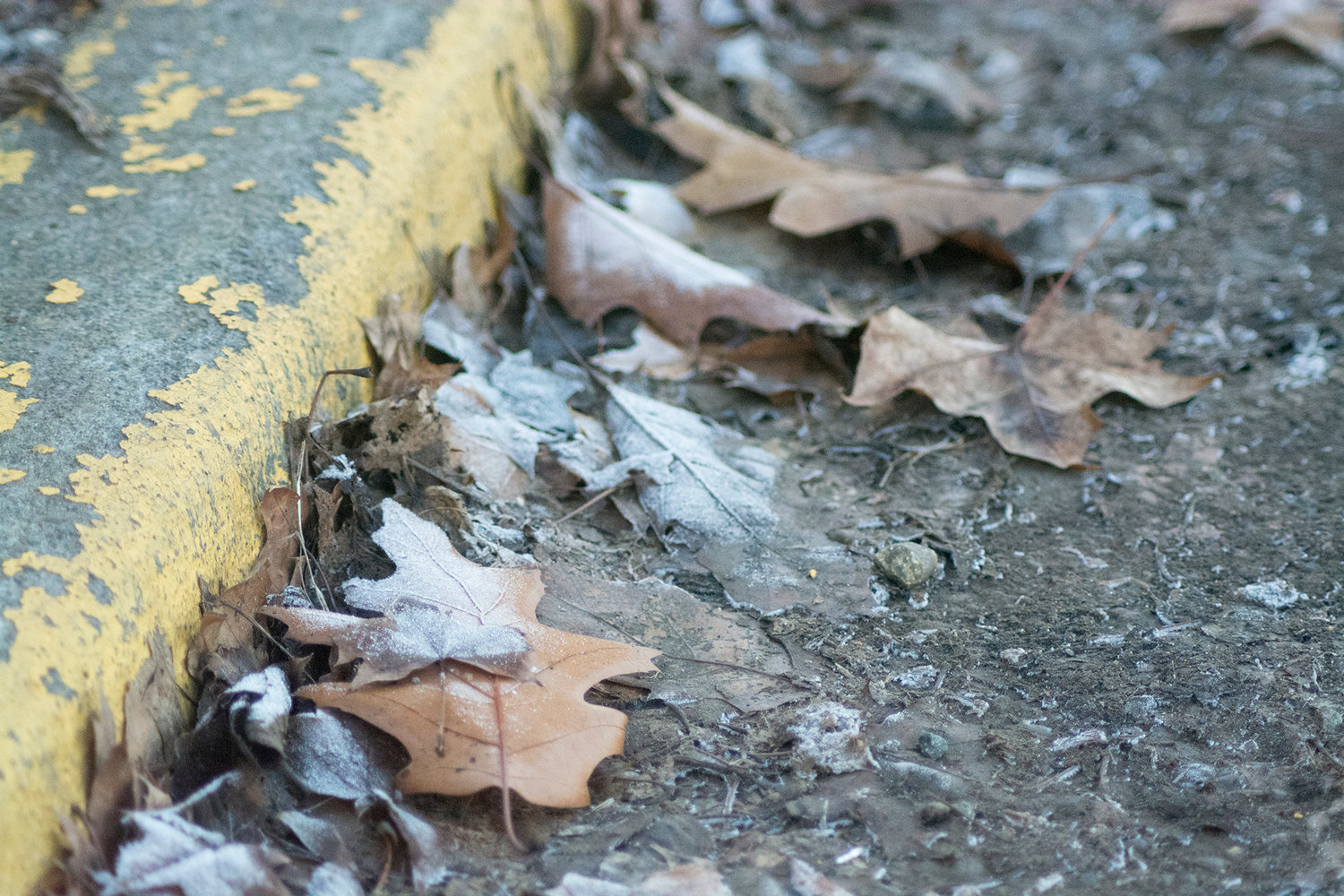
Frost-covered leaves sit near the curb Wednesday afternoon in Centralia.
The chill that has settled in over much of Western Washington will continue through the end of the week, until milder conditions move in this weekend.
“We have a high-pressure system over the area, and that’s cleared us out,” said Jay Albrecht, a meteorologist with the National Weather Service in Seattle. “This time of year, when we get clear (skies), it allows the heat to radiate out into space, and we get cold at night.”
Without that cloud layer to trap the heat, temperatures dipped into the 20s locally Monday and Tuesday evenings. They were expected to return to that range Wednesday and Thursday evenings as well, before clouds and milder, wetter weather return on Friday.
“We’re going to see an increase in clouds and get into a typical December pattern as we get into the weekend,” Albrecht said.
He noted that the current conditions aren’t terribly unusual, and are only about 5 degrees cooler than average for this time of year. Next week, temperatures will be a bit above average.
“What’s a little bit more unusual this year is the number of nice dry days we have been getting,” he said.
Those conditions could be because a developing El Niño, the climate created by warm water in the Pacific Ocean.
With heavy fog prevalent in the morning, Albrecht said drivers should note that moisture will become a hazard in chilly conditions.
“Temperatures are cold enough that fog will freeze and ice up the roadways,” he said.
It’s still too early to predict a Christmas forecast, Albrecht said, noting that the holiday conditions will become more apparent around Dec. 18-20.
“The pattern we’re in right now, our computer model’s performance for the extended forecast is not as high as it would be under different weather regimes,” he said.


