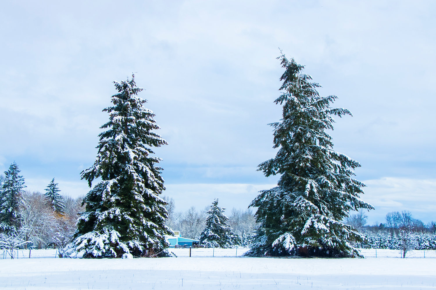
Trees lean as wind and snow pile on last February in Centralia.
After a significantly warmer and drier than average January, and one of the coldest and snowiest Februaries ever recorded in the Seattle region, meteorologists and climatologists are hedging their bets about March.
The National Oceanic and Atmospheric Administration (NOAA) forecast in October that we would likely experience warmer-than-normal temperatures throughout the winter, according to Karin Bumbaca, assistant state climatologist at the University of Washington.
“But the cold February threw a wrench in the predictions, and they’re now saying that they kind of don’t know,” she said.
Right now, she said, NOAA has issued an “equal chance forecast,” which means there’s a 33.3 percent chance temperatures will be below normal, a 33.3 percent chance they’ll be near normal and a 33.3 percent chance they’ll be above normal.
“There’s not really a strong indication either way,” she said.
Regardless of what comes later, March started off on a cheery note with dry, sunny skies on Friday that are predicted to last through the weekend and into the beginning of next week.
On Tuesday, another weather system is expected to creep into the region, bringing a chance of rain, said Art Gaebel, a meteorologist with the National Weather Service in Seattle.
Seattle finished 2018 with an average high temperature of 62.3 degrees, making it the fifth-hottest year on record in data going back to 1948 at Seattle-Tacoma International Airport. The only warmer years were 2015 (63.4 degrees), 2014 (62.6 degrees), 2016 (62.5 degrees) and 1992 (62.5 degrees).
We started 2019 with the fifth-driest January in 25 years. It was also among the warmest, with the first half of the month clocking in as the warmest 14-day stretch in January ever, according to the weather service.
“This is not a typical winter,” weather service meteorologist Dana Felton said at the beginning of the year.
February, by contrast, started cold and stayed cold — which is unusual here — and ended up being the third coldest and the snowiest February on record, with 20 inches of snow. This February was surpassed in frigidity only by 1989 and 1956, which both had average daily temperatures of 36 degrees, compared with 37 this year, according to the weather service.
It was also, according to the weather service, the coldest month on record since December, 1990.
Gaebel said “everything has to line up exactly right” for the weather to be as unusual as February’s, with cold air coming down from the Fraser River Valley and precipitation coming in from the coast at the same time.
“It doesn’t happen very often,” he said.
All that snow meant big gains in the state’s snowpack — about a 20 percent jump. “If this were baseball, you could say we just had a five-run inning,” Jeff Marti, Water Resources Drought Coordinator for the state Department of Ecology, wrote in a post on the department’s blog last week. Snowpack feeds rivers and reservoirs and is a crucial indicator of the state’s water supply.
That said, snowpack levels are still below normal for this point in the year.
Regardless of the weather we end up seeing in March, it’s likely to feel warm and dry to people who endured last month’s cold and snow. Research shows that people’s perception of weather is based more on what they’ve experienced recently than on long-term trends.
Because of that, weather extremes start feeling normal to people quite quickly, according to a study at the University of California-Davis. Researchers call this the “boiling-frog effect”: If a frog is placed in a pot of boiling water, it hops out immediately. But if it’s already in a pot and the water is heated up to boiling, the frog doesn’t notice and gets cooked.
Bumbaca, the assistant state climatologist, said last month’s unusual cold is more likely an outlier rather than an example of the weather extremes predicted to come with climate change.
“What we would expect is that it would be warmer in every season, which it already is, but with heavy precipitation events in a shorter time scale,” she said. For example, “in Washington, we would see the heavy rains that you now expect to see on the East Coast. If those kinds of deluges start happening here in February, that would be consistent with what we expect.”
Looking at the entire “water year” so far — that is, from Oct. 1 on — temperatures across most of the state have been higher than normal, according to the state Department of Ecology.
Regardless of what the rest of the month brings, Gaebel has some advice:
“Enjoy the sun today and this weekend,” he said. “It won’t last forever.”


